Your gateway to a wide range of natural resources information and associated maps

Victorian Resources Online

East Gippsland Region Soil Pits

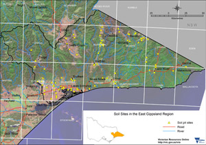
A number of soil pits have been characterised and described associated with various Departmental projects within the East Gippsland Region.


Image: Overview grid East Gippsland Region - thumbnail
East Gippsland Region - Mapsheet Grid


This is a clickable map of the East Gippsland Region of Victoria. Click on this regional map to access the East Gippsland mapsheet grid which highlights the soil pits characterised in this region.

East Gippsland Region Soil Pit Sites


NOTE: This page is under construction, some pit sites do not have data linked to them at present.

BAIRNSDALE MAPSHEET
EGC209EGC210 EGLW2 EGLW3 EGLW5 EGLW51
EGS253EGS254 EGS260 EGS261EGS262EGS263EGS264EGS265EGS266
GRES398GRES401GRES404GRES405GRES485GRES486GRES488GRES661GRES662GRES708
EGTUN06EGTUN07EGTUN08EGTUN11EGTUN12EGTUN13EGTUN14EGTUN15EGTUN16EGTUN17
BENDOC MAPSHEET
EGC222EGC223EGC224EG120EGRS108EGRS133EGRS136
EGS234EGS235EGS236 EGS237EGS238EGS239EGS240EGS241EGS242
CANN RIVER MAPSHEET
EGC213EGC214EGRS147EGRS153EGRS215
CRAIGIE MAPSHEET
EGC218EGS243EGS246EGW120EGW121EGRS219
DARGO MAPSHEET
EGC208GRES36
EDEN MAPSHEET
EGS247
MURRINDAL MAPSHEET
EGW24EGW25EGW30EGW38EGW40EGW43EGW47EGW78EGW83EGW84EGW87c
(Carrabungla)
EGW87w
(Wulgulmerang)
EGC215EGC216
MURRANGOWAR MAPSHEET
EGS245 EGW9EGW122EGRS212
OMEO MAPSHEET
EGC200EGC201EGC202EGC207GRES489 GRES490GRES491 GRES492
ORBOST MAPSHEET
EGC217EGC220EGC221EGS248EGS249 EGS250EGS251
EGW7 EGW18 EGW119CFTT05
STRATFORD MAPSHEET
EGG5EGG7EGTUN01EGTUN02EGTUN03 EGTUN04EGTUN05EGTUN09EGTUN10
EGS255EGS256EGS257EGS258EGS259GRES478 EGLW6 EGLW13EGLW14EGLW15
Page top