
Soils and landforms of East Gippsland
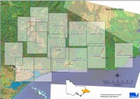 East Gippsland Survey Map. |
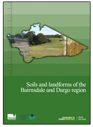
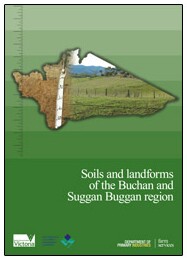
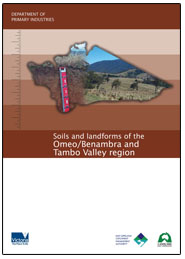
Each soil-landform unit contains a general description of the geology and landform as well as detailed descriptions of typical soils. The soil descriptions include a range of physical and chemical parameters including general observations about the management implications arising from these characteristics. |
© State of Victoria (Agriculture Victoria) 1996 - 2025.

This work, Victorian Resources Online, is licensed under a Creative Commons Attribution 4.0 licence. You are free to re-use the work under that licence, on the condition that you credit the State of Victoria (Agriculture Victoria) as author, indicate if changes were made and comply with the other licence terms.
The licence does not apply to ‘branding’ or some ‘images or photographs’ that may be owned by third parties. We ask you to seek prior approval to use images using the VRO feedback form. Access to higher quality images can also be provided on request.
This page was last updated on 23/03/2020.