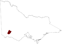
Salinity Province 40, Hamilton
|
|
Province Attributes
| Catchment Management Region: | GLENELG-HOPKINS |
| Priority Status: | High |
| Province Area: | 173,780ha |
| Recorded Soil Salinity Area 1: | 3,082 ha |
| Dominant Surface Geology Type: | Sedimentary |
| Influence of Geological Structure on Salinity Occurrence/s: | None |
| Relevant Geomorphological Mapping Units (GMUs): | 6.1.X |
| Predominant Groundwater Flow Systems (GFSs): | Local & Local/Intermediate |
| Relevant Irrigation Areas: | N/A |
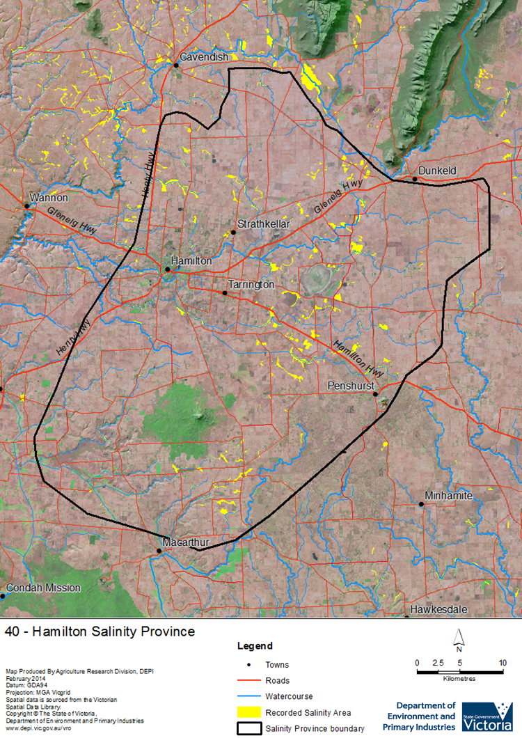
Hamilton Salinity Province Map

Links to further reading and material related to the Glenelg Hopkins Salinity Province
Groundwater Flow Systems (GFS) in the Glenelg Hopkins CMR
For further information relating to groundwater levels and salinities in this Province please see: Visualising Victoria's Groundwater (VVG)
1 Please Note: The ‘Recorded Soil Salinity Area’ indicated in the Salinity Province Attribute Table, comprises the total geographic area that has been mapped as having, or showing symptoms of, dryland soil salinity at some time (past or present). As dryland salinity occurrence in the Victorian landscape exhibits many different levels of severity and can change due to climate, landuse and vegetation, previously mapped areas may no longer be showing symptoms. In addition, as not all parts of the State have been mapped, or mapped in the same way, the mapping may not have captured some occurrences.
The soil salinity mapping used to calculate this ‘area’ does not cover irrigation regions. In irrigation regions, depth to watertable and watertable salinity mapping has been used to convey the threat of high watertables on soil waterlogging and/or soil salinisation and these areas are not included in this ‘area‘ calculation.
Please contact the Department, your Catchment Management Authority or your rural water provider for more information about salinity in your location.

 Dryland salinity in the large Hamilton Salinity Province is associated with local to regional scale Groundwater Flow Systems in a volcanic landscape. Local Groundwater Flow Systems feed discharge at the edges of eruption points, such as Mt Napier, but on the broader volcanic plains that make up the majority of the province, shallow watertables, seasonal waterlogging and salinity occur due to poorly developed drainage and clay rich basalt soils. Primary salinity is associated with wetlands and drainage lines in the pre-agricultural landscape, and secondary salinity is found at the margins of this primary salinity and where high watertables occur in landscape depressions and drainage lines.
