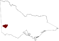
Salinity Province 129, West Dundas Tablelands
|
|
Province Attributes
| Catchment Management Region: | GLENELG-HOPKINS |
| Priority Status: | High |
| Province Area: | 246,570 ha |
| Recorded Soil Salinity Area 1: | 5,266 ha |
| Dominant Surface Geology Type: | Intrusives |
| Influence of Geological Structure on Salinity Occurrence/s: | None |
| Relevant Geomorphological Mapping Units (GMUs): | 2.3.X, 2.2.X |
| Predominant Groundwater Flow Systems (GFSs): | Local/Intermediate |
| Relevant Irrigation Areas: | N/A |
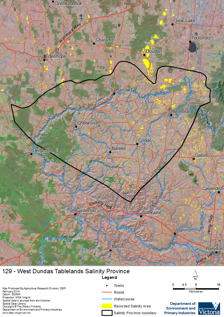
West Dundas Tablelands Salinity Province Map

Links to further reading and material related to the Glenelg Hopkins Salinity Province
Groundwater Flow Systems (GFS) in the Glenelg Hopkins CMR
For further information relating to groundwater levels and salinities in this Province please see: Visualising Victoria's Groundwater (VVG)
1 Please Note: The ‘Recorded Soil Salinity Area’ indicated in the Salinity Province Attribute Table, comprises the total geographic area that has been mapped as having, or showing symptoms of, dryland soil salinity at some time (past or present). As dryland salinity occurrence in the Victorian landscape exhibits many different levels of severity and can change due to climate, landuse and vegetation, previously mapped areas may no longer be showing symptoms. In addition, as not all parts of the State have been mapped, or mapped in the same way, the mapping may not have captured some occurrences.
The soil salinity mapping used to calculate this ‘area’ does not cover irrigation regions. In irrigation regions, depth to watertable and watertable salinity mapping has been used to convey the threat of high watertables on soil waterlogging and/or soil salinisation and these areas are not included in this ‘area‘ calculation.
Please contact the Department, your Catchment Management Authority or your rural water provider for more information about salinity in your location.

 The large West Dundas Tablelands Salinity Province is underlain by a variety of bedrock geologies, covered by a deeply weathered regolith that has resulted in a complex landscape of local Groundwater Flow Systems (GFSs) overlying a little known regional GFS. Historical mapping identified some saline waterways and lakes as primary salinity features in parts of the province and high watertables were naturally present in some low-lying parts of the landscape. Many of these were expanded by secondary salinity following the loss of perennial native vegetation, which resulted in brackish groundwater emergence along many drainage lines.
