Groundwater Monitoring
Back to Bet Bet Creek Catchment Homepage
To view the information PDF requires the use of a PDF reader. This can be installed for free from the Adobe website (external link).
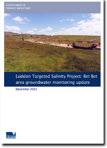
Loddon Targeted Salinity Project: Bet Bet area groundwater monitoring update (December 2003).
This report was prepared by Rexine Perry of the former Department of Natural Resources and Environment (DNRE) in December 2003. It reports on groundwater monitoring bores in the Bet Bet target area for salinity works and research within the Loddon catchment (as part of the National Action Plan's (NAP) North Central Catchment Management Authority (NCCMA) Targeted Salinity and Water Quality Project. This report provides an updated interpretation of groundwater levels and hydrograph trends observed in the groundwater monitoring network that lies solely within the Bet Bet targeted area with special reference to the installation of new groundwater monitoring bores. As part of this research, six new groundwater monitoring bores were installed to fill gaps in the existing groundwater monitoring network. The new bores have been positioned to provide transects across the targeted area and to complement the monitoring of existing remediation works. As part of this research, five new groundwater monitoring bores were installed to fill gaps in the existing groundwater monitoring network.
The data collected from the monitoring bore network provides information on groundwater levels and groundwater trends. This, when linked with topography, climate and stream quality monitoring and land use, provides a framework for better understanding processes that contribute to dryland salinity. Investigation of existing bores in conjunction with the installation of the new bores and information derived from these assist to build a conceptual model of catchment processes in the Bet Bet area.
 | Abstract (PDF 122KB) | |
| 1. | Introduction (PDF 50KB)
| |
| 2. | Geology of Bet Bet (PDF 476KB) | |
| 3. | Hydrogeology of Bet Bet (PDF 363KB)
Groundwater trends in the Bet Bet targeted area | |
| 4. | New monitoring bores (PDF 11KB) | |
| 5. | Conclusion (PDF 11KB) | |
| References (PDF 16KB) | ||
| Appendix 1 - Hydrographs of the Bet Bet monitoring bores (PDF 111KB | ||
| Appendix 2 - Bore completion reports for new bores (PDF 653KB) |
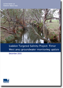
Loddon Catchment Targeted Salinity Project: Timor West targeted area groundwater monitoring update (2003)
This report was prepared by Rexine Perry of the former Department of Natural Resources and Environment (DNRE) in December 2003. It reports on groundwater monitoring bores in the Timor West target area for salinity works and research within the Loddon catchment (as part of the National Action Plan's (NAP) North Central Catchment Management Authority (NCCMA) Targeted Salinity and Water Quality Project. This report provides an updated interpretation of groundwater levels and hydrograph trends observed in the groundwater monitoring network within the Timor West targeted area with special reference to the installation of new groundwater monitoring bores. As part of this research, six new groundwater monitoring bores were installed to fill gaps in the existing groundwater monitoring network. The new bores have been positioned to provide transects across the targeted area and to complement the monitoring of existing remediation works.
The data collected from the monitoring bore network provides information on groundwater levels and groundwater trends. This, when linked with topography, climate and stream quality monitoring and land use, provides a framework for better understanding processes that contribute to dryland salinity. Investigation of existing bores in conjunction with the installation of the new bores and information derived from these assist to build a conceptual model of catchment processes in the Timor West area.
 | Abstract (PDF 809KB) | |
| 1. | Introduction (PDF 50KB)
| |
| 2. | Geology of Timor West (PDF 582KB) | |
| 3. | Hydrogeology of Timor West (PDF 273KB)
Groundwater trends in the Timor West targeted area | |
| 4. | New monitoring bores (PDF 319KB) | |
| 5. | Conclusion (PDF 236KB) | |
| 6. | Recommendations (PDF 16KB) | |
| References (PDF | ||
| Appendix 1 - Hydrographs of the Timor West monitoring bores (PDF 231KB) | ||
| Appendix 2 - Bore completion reports for new bores (PDF 931KB) |


