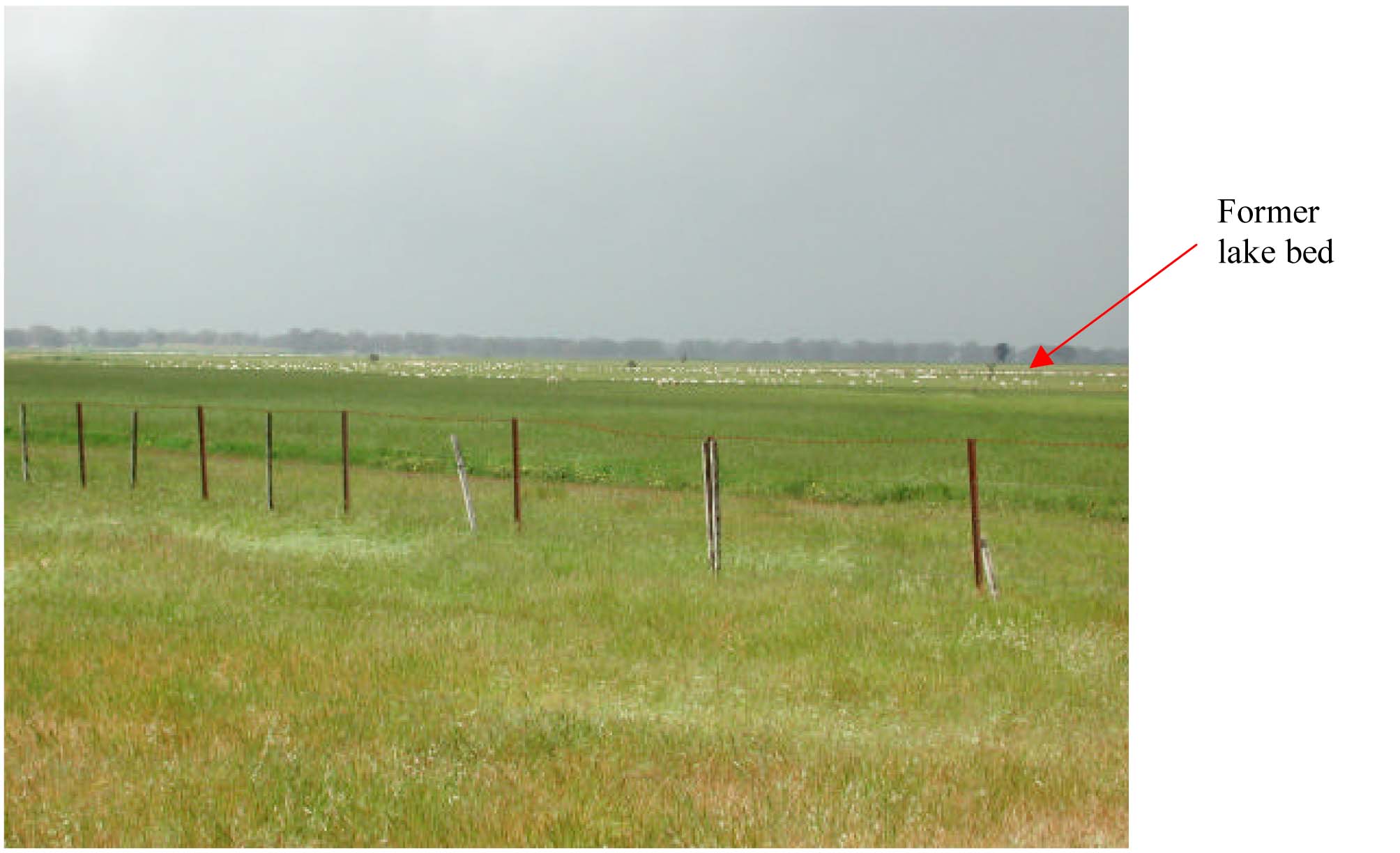
Former Lake Beds Land Unit
This land unit consists of the former lakebeds scattered throughout the region. The soils are commonly grey or black cracking clays (Vertosols) and are often sodic, although Black Dermosols and Grey Sodosols also occur. They are generally poorly drained and may be organic rich in some areas. Irrigation practices for dairy, pasture and seed production are common land uses of this unit. There may be some dunes and lunettes that have been mapped as part of this land unit due to restrictions of scale.

Plate 28 Expansive plains of a former swamp and lake bed located north of Casterton.


