
Glenelg-Hopkins Region
Welcome to the Victorian Resources Online's Glenelg-Hopkins site. This is your gateway to a wide range of resource information for the Glenelg-Hopkins catchment management region.
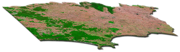
The Glenelg-Hopkins region covers some 27 000 square kilometres - representing about 12% of Victoria's total area.
HighlightsArarat Hills Sites of Geological & Geomorphological Significance of Private Land in the Shire of Portland Catchment-scale water and salinity impacts of changing landuse in south-western Victoria Salinity Discharge Mapping A 'virtual aerial tour' of Mt. Noorat Catchment scale impacts of land use change in south-west Victoria Related LinksGlenelg-Hopkins Catchment Management Authority website (external link) Local Governments in the Glenelg-Hopkins Region Climate in the Glenelg-Hopkins Region | 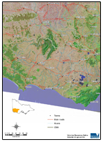 |
© State of Victoria (Agriculture Victoria) 1996 - 2025.

This work, Victorian Resources Online, is licensed under a Creative Commons Attribution 4.0 licence. You are free to re-use the work under that licence, on the condition that you credit the State of Victoria (Agriculture Victoria) as author, indicate if changes were made and comply with the other licence terms.
The licence does not apply to ‘branding’ or some ‘images or photographs’ that may be owned by third parties. We ask you to seek prior approval to use images using the VRO feedback form. Access to higher quality images can also be provided on request.
This page was last updated on 23/03/2020.