
Soil-Landform Units - Mountain Plateaux
Flood Plain | Alluvial | Colluvial | Low Hills | Hills | Mountains | Hill Plateaux | Mountain Plateaux | Back to Soil/Landform Survey
To view the information PDF requires the use of a PDF reader. This can be installed for free from the Adobe website (external link).
Unit Description | Unit Type | Typical Soil Profile Information (for components of each unit) | |
| Mountain Plateaux | |||
| PMB | (PDF 96KB) | Plateaux associated with mountains (<1220 m, Tertiary Basalt)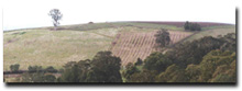 | Components 1, 2 (PDF 88KB) (PDF 96KB) |
| PMSs | (PDF 87KB) | Plateaux on schist mountains (High Plains)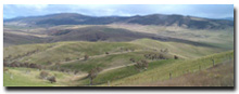 | Components 1, 2, 3 (PDF 88KB) (PDF 124KB) (PDF 81KB) |
| PMSy | (PDF 103KB) | Plateaux associated with Carboniferous mountains (<1220 m, Wabonga)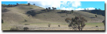 | Components 1, 2, 3 (PDF 100KB) (PDF 97KB) (PDF 99KB) |
| PMV | (PDF 93KB) | Plateaux on Devonian rhyolite and rhyodacite mountains (<1220m, Toombullup)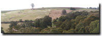 | Components 1, 2 (PDF 106KB) (PDF 113KB) |
© State of Victoria (Agriculture Victoria) 1996 - 2025.

This work, Victorian Resources Online, is licensed under a Creative Commons Attribution 4.0 licence. You are free to re-use the work under that licence, on the condition that you credit the State of Victoria (Agriculture Victoria) as author, indicate if changes were made and comply with the other licence terms.
The licence does not apply to ‘branding’ or some ‘images or photographs’ that may be owned by third parties. We ask you to seek prior approval to use images using the VRO feedback form. Access to higher quality images can also be provided on request.
This page was last updated on 25/01/2019.