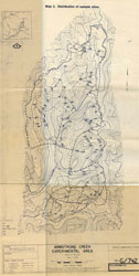
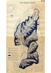
A Study of Soils in the Reefton Experimental Area; with Particular Reference to Hydrological Properties.
The main aim of the report "A study of soils in the Reefton experimental area; with particular reference to hydrological properties", conducted in September 1982 by David Rees of the former Soil Conservation Authority was to provide an input of soils data to compliment hydrological and meteorological data, so that a hydrological model of the catchments could be formulated.
There were a number of objectives of the soil survey. Firstly, to distinguish and map the soil types in the survey area; Secondly, to measure the properties of the soil types in terms of their physical and chemical characteristics; and to determine the major differences between properties of the soil types, in relation to hydrological characteristics.
Parameters studied included:
- bulk density and porosity;
- water holding capacities;
- infiltration rate and sorptivity;
- hydraulic conductivity;
- erodibility chemical characteristics;
To view the information PDF requires the use of a PDF reader. This can be installed for free from the Adobe website (external link).
 | Front page, Table of Contents, Acknowledgements (PDF 169KB) |
| Introduction (PDF 103KB) | |
| Summary and Conclusions (PDF 112KB) | |
| Survey Area (PDF 1.9MB) | |
| Soil Survey Methodology (PDF 112KB) | |
| Soil Types and Descriptions (PDF 769KB) | |
| Soil Physical Parameters (PDF 606KB) | |
| Infiltration and Hydraulic Conductivity (PDF 527KB) | |
| Erodibility and Chemical Analyses (PDF 133KB) | |
| Bibliography (PDF 103KB) | |
| Appendices Appendix 1 - Soil Site Card (PDF 1.0MB) Appendix 2 - Bulk density, porosity and available water capacity data (PDF 105KB) Appendix 3 - Infiltration, sorptivity and hydraulic conductivity data (PDF 106KB) Appendix 4 - Erodibility data: organic matter, texture, erodibility; (K;USLE) (PDF 120KB) Appendix 4 - Emerson tests, electrical conductivity, iron oxide content and other chemical data (PDF 120KB) |
Maps
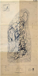 Reefton experimental area S-1263 (PDF 142KB) | 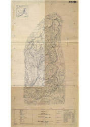 Reefton experimental area S-1264 (PDF 330KB |

