Mt Gellibrand Soils
Back to: Corangamite Soil
Mt Gellibrand Soil Pit Sites
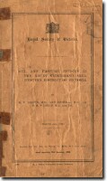
The report: Soil and Pasture Studies in the Mount Gellibrand Area, Western District of Victoria was prepared by G.W Leeper, Ann Nicholls and S.M Wadham in 1936. This report was reprinted from the Proceedings of the Royal Society of Victoria (Vol. 49).
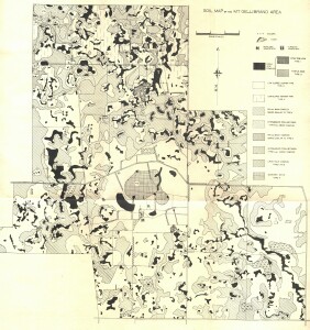
This survey is of significance in that it was one of the first soil surveys ever undertaken in Victoria that utilised air photos. The section on associated vegetation provides important information on the past distribution of plant species in relation to soil types.
Additional soil pit information for this area is provided on this website, associated with a field trip for the Soil Science Society of Australia (Victorian Branch) in 2004.
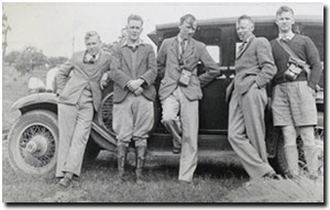
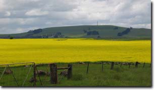
 Geoffrey Leeper is pictured in the middle of this photo. It was taken on an excursion to Kinglake in 1939. Pictured (left to right): K.D Nicholls, R.B Withers, G.W Leeper, E.S Hills, A Blackburn. |  View to Mt Gellibrand |
Reference: Soil and Pasture Studies in the Mount Gellibrand area, Western District of Victoria. Proceedings Royal Society Victoria, 49.
 | Soil Studies in the Mt Gellibrand Area (PDF 1847 KB) Soil Studies in the Mt Gellibrand Area (DOC - 2400 KB) To view the information PDF requires the use of a PDF reader. This can be installed for free from the Adobe website (external link). |
Related Links
See related link to Mt Gellibrand Eruption Point

 Soil Map of the Mount Gellibrand Area (PDF 426KB)
