Landform
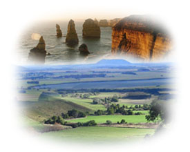
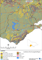
The Corangamite region has formed through landscape-building episodes over the past 600 million years (Ma), in a variety of environments ranging from deep sea sedimentation to explosive volcanoes. Landscapes continually evolve and processes such as earthquakes, landslides and even saline groundwater discharge, are manifestations of this evolutionary process. The region has a diverse range of landforms within three major geomorphological units: |
Geology Information
Geoscience Victoria's web mapping application allows users to search geospatial databases and display the results as maps or tables. Datasets that can be viewed and interrogated include mineral, petroleum and extractive industries tenements, land-use and airborne geophysical survey boundaries, gravity, magnetic and radiometric images, bore hole & well data, surface geochemistry results, mines and mineral occurrences, and geological maps and interpretations at various scales.


