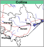
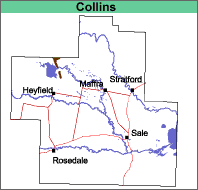
Collins (Cs)
|
Geology |  |  |
The original vegetation was an open forest. The eucalypt species present depend on aspect and surface rock outcrop (Aldrick et al. 1992). Much of the area is now largely cleared.
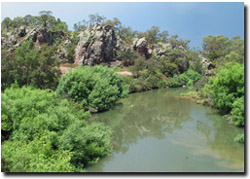
 Devonian outcrop near Lake Glenmaggie. |
This map unit is included within the Collins Land System as described by Aldrick et al. (1992). Soils The soils in this map unit have not been examined in any detail. Most of the soils seem to lack texture contrast and are most likely to be classified as Brown Dermosols. The surface soils are brown gritty loams and clay loams generally with fragments of rock at the surface. Gritty light clays occur from about 30 or 40 cm depth and decomposing rock from about 60 cm to 1 m. Areas of rock outcrop with no soil cover also occur. |
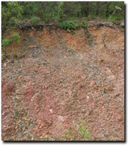
Chemical and Physical Analysis No analyses have been carried out on any of these soils within the study area. Land Use Generally the soils are uncleared except around Coongulla where they are used for grazing. They have no horticultural potential. |  Soil profile developed on Devonian sediments near Lake Glenmaggie. |


