Bu3 - Bullengarook Lava Flows - Twin Lateral Streams
|
This information has been developed from this publication:
|
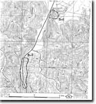
| Location: | Bullengarook - 751390. Shire of Bacchus Marsh. Valley of Cockatoo and Goodmans Creek, 13 km north of Bacchus Marsh. |  Bullengarook Lava Flows |
Access: | Bacchus to Gisborne Road. | |
Ownership: | Mainly private land, some Crown land along road. | |
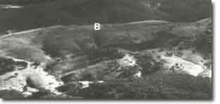
Site Description: | The site includes a narrow and thin sector of the Bullengarook lava flow. Headward erosion by tributaries of Cockatoo and Goodmans Creeks has breached the lava surface and exposed silicified gravels from the ancient Bullengarook valley at the base of the lava. The creek valleys, cut between 60 to 120 m below the level of the lava surface, expose Lower to Middle Ordovician shales with graptolite fossil fauna. These are best obtained in Nuggety Gully near its junction with Goodmans Creek. | |
Significance: | State. The site is an outstanding example of the development of twin lateral streams adjacent to a lava flow. The exposure of river gravels at the base of the lava is a clear indication of the topography buried by the Bullengarook flow. | |
Management: | Class 2. It is desirable to limit the amount of building activity at the site to that necessary to service existing property requirements. Further subdivision and extension of building activity would cover the base of the lava flow and render the significant outcrops inaccessible. | |
References: | Roberts P (1984) | |
 Site - Bu2 - 3 |


