Bf7 Moorabool Viaduct - Type Locality
Geelong - Maude Area, Tertiary Stratigraphic Sites
This information has been developed from the publications:
|
| Location Access Ownership | Batesford - 615823. Former Shire of Bannockburn. Valley of Moorabool River at the crossing of the Geelong to Ballarat Railway, 2 km north of Batesford. Hill Road. Private land. | |
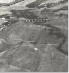
Site Description | On the valley slopes of the Moorabool, adjacent to the viaduct, are exposures of white and red stained sands and calcareous sandstone overlain by lava flows. The lava occurs at two levels representing flows of differing age, that occurring in the valley being younger than that capping the edge of the valley. The outcrop has long been established as the type locality of the Moorabool Viaduct Sand even though the exposures are not the best available. There is substantial literature relating to the lithology and palaeontology of the Moorabool Viaduct Sand at this locality. | |
Significance | State. This is the type locality of a formation which is widespread in the Geelong district and along the lower Moorabool River. | |
Management | Class 3. Continuation of rural land use will maintain the significance of the site. | |
References | Hall, T.S. and Pritchard, G.B. (1897). Mulder, J.F. (1902). Singleton, F.A. (1941). Bowler, J.M. (1963). Tertiary Stratigraphy and Sedimentation in the Geelong/Maude Area, Victoria. Proc. R. Soc. Vict. 76:69-137. | |

Bf7 - Moorabool Viaduct and floodplain of Moorabool River upstream from Batesford.


