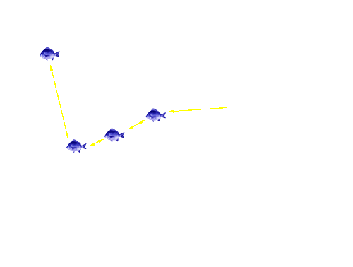
Fish 1228 Tracking - Image 10
Click on the satellite image to track the movement of your favourite bream. Details of what the bream did are provided below the satellite image.
Fish 1228 returned to the middle of the Mitchell River via The Cut, and, while the fish was detected mostly in the vicinity of the largae woody debris and The Cut, it moved as far upstream as Bairnsdale and as far downstream as the silt jetty. Fish 1228 departed the Mitchell River at 2.45pm on 11/11/05.
To track another bream return to the Tracking the movement patterns of black bream in the Gippsland Lakes page.
Page top
Previous | Image 1 | Image 2 | Image 3 | Image 4 | Image 5 | Image 6 | Image 7 | Image 8 | Image 9 | Image 10 | Image 11 | Image 12 | Image 13 | Next
 |
Fish 1228 returned to the middle of the Mitchell River via The Cut, and, while the fish was detected mostly in the vicinity of the largae woody debris and The Cut, it moved as far upstream as Bairnsdale and as far downstream as the silt jetty. Fish 1228 departed the Mitchell River at 2.45pm on 11/11/05.
To track another bream return to the Tracking the movement patterns of black bream in the Gippsland Lakes page.


