Fish 1228 Tracking - Image 6
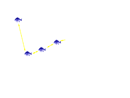
Click on the satellite image to track the movement of your favourite bream. Details of what the bream did are provided below the satellite image.
Fish 1228 entered the Mitchell River at the bottom of the silt jetty, and swam upstream to the area with re-established large woody debris, where it was detected for around 4 days. The fish then departed this area at 7.57 am on 27/5/05, and was next detected in Bairnsdale, at 3.30 am the next day (28/5/05). Fish 1228 then moved up and down the Mitchell River between the cut and Bairnsdale for the next 3 months, during which time more than 70% of the detections were recorded around the large woody debris. Fish 1228 departed the Mitchell River via the silt jetty at 7.39 on 3/10/05.
To track another bream return to the Tracking the movement patterns of black bream in the Gippsland Lakes page.
Page top
Previous | Image 1 | Image 2 | Image 3 | Image 4 | Image 5 | Image 6 | Image 7 | Image 8 | Image 9 | Image 10 | Image 11 | Image 12 | Image 13 | Next
 |
Fish 1228 entered the Mitchell River at the bottom of the silt jetty, and swam upstream to the area with re-established large woody debris, where it was detected for around 4 days. The fish then departed this area at 7.57 am on 27/5/05, and was next detected in Bairnsdale, at 3.30 am the next day (28/5/05). Fish 1228 then moved up and down the Mitchell River between the cut and Bairnsdale for the next 3 months, during which time more than 70% of the detections were recorded around the large woody debris. Fish 1228 departed the Mitchell River via the silt jetty at 7.39 on 3/10/05.
To track another bream return to the Tracking the movement patterns of black bream in the Gippsland Lakes page.


