
Landform
Landform Description | Elevation | Statewide Land Systems - Maps | Geomorphology | Landform Glossary | Victorian Volcanic Plains | Definitions
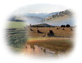
| Victoria has a diversity of landforms which reflect variations in geology and the many different land forming processes which have occurred over a range of geological periods and climatic regimes. Land forming processes include earth movements, erosion, river and marine action and volcanic activity. Landform Glossary Landform Description
|  |
This section provides information on Land System mapping in Victoria and also details the history of the development of Victorian land studies (a major focus of the former Soil Conservation Authority).
Elevation
This 'Digital Elevation Model' provides a broadscale map of Victoria's relief.
Geomorphology
Geomorphology (or physiography) is used to classify land at a broad level in terms of its form and development process.
Geology Information
Earth Resources in Victoria webpage on the DEPI website - includes a link to the Geo Vic Explore Victoria Online application.
Related Links
The Geoscience Australia website provides a Palaeographic Atlas (external link) - showing the evolution of the Australian landscape over geological time periods.
© State of Victoria (Agriculture Victoria) 1996 - .

This work, Victorian Resources Online, is licensed under a Creative Commons Attribution 4.0 licence. You are free to re-use the work under that licence, on the condition that you credit the State of Victoria (Agriculture Victoria) as author, indicate if changes were made and comply with the other licence terms.
The licence does not apply to ‘branding’ or some ‘images or photographs’ that may be owned by third parties. We ask you to seek prior approval to use images using the VRO feedback form. Access to higher quality images can also be provided on request.
This page was last updated on .