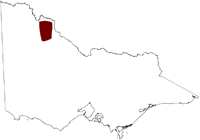
Salinity Province 118, Tyrrell Basin
|
|
Province Attributes
| Catchment Management Region: | MALLEE |
| Priority Status: | High |
| Province Area: | 383,010 ha |
| Recorded Soil Salinity Area 1: | 36,454 ha |
| Dominant Surface Geology Type: | Sedimentary |
| Influence of Geological Structure on Salinity Occurrence/s: | Definite |
| Relevant Geomorphological Mapping Units (GMUs): | 5.3.X, 5.1.X |
| Predominant Groundwater Flow Systems (GFSs): | Regional & Local/Intermediate |
| Relevant Irrigation Areas: | N/A |
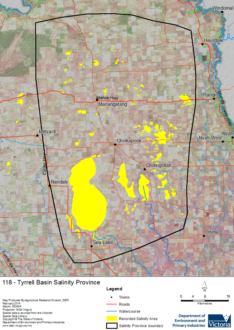
Tyrrell Basin Salinity Province Map

Links to further reading and material related to the Mallee Salinity Province
For further information relating to groundwater levels and salinities in this Province please see: Visualising Victoria's Groundwater (VVG)
1 Please Note: The ‘Recorded Soil Salinity Area’ indicated in the Salinity Province Attribute Table, comprises the total geographic area that has been mapped as having, or showing symptoms of, dryland soil salinity at some time (past or present). As dryland salinity occurrence in the Victorian landscape exhibits many different levels of severity and can change due to climate, landuse and vegetation, previously mapped areas may no longer be showing symptoms. In addition, as not all parts of the State have been mapped, or mapped in the same way, the mapping may not have captured some occurrences.
The soil salinity mapping used to calculate this ‘area’ does not cover irrigation regions. In irrigation regions, depth to watertable and watertable salinity mapping has been used to convey the threat of high watertables on soil waterlogging and/or soil salinisation and these areas are not included in this ‘area‘ calculation.
Please contact the Department, your Catchment Management Authority or your rural water provider for more information about salinity in your location.

 The Tyrrell Basin Salinity Province is the largest in the Mallee CMA Region at 383,000 ha. Salinity in this province is dominated by the primary salinity feature of Lake Tyrrell in its south-west, here the Tyrrell fault allows saline groundwater to discharge from the underlying marine and alluvial origin sediments of its regional scale Groundwater Flow System (GFS). Over time, this discharge has salinised a clay depositional feature called the Blanchetown Clay, which has then been blown away to form natural saline depressions known as "boinkas". Numerous smaller boinkas are found to the east and north of lake Tyrrell, with cropping land adjoining and surrounding these primary salinity features. Land clearing caused some expansion of the groundwater discharge areas and increased recharge to the overlying local to intermediate scale GFSs in the sand dunes.
