Mount Consultation
|
This information has been obtained from the report: Eruption Points of the Newer Volcanic Province of Victoria by Neville Rosengren. This report was published in 1994 and was prepared for the National Trust of Australia (Victoria) and the Geological Society of Australia (Victorian Division). The review of eruption points was based on an earlier unpublished manuscript Catalogue of the post-Miocene volcanoes of Victoria compiled by O P Singleton and E B Joyce (Geology Department, University of Melbourne 1970). |
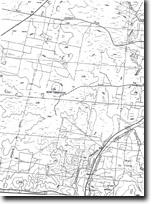
| 37 06 00S 144 10 00E (external link); 7723-4-1 (Castlemaine) 482913. 5 km SW of Castlemaine. Fords Road. |  Mount Consultation | |
Newstead. | ||
Private land. Grazing, quarry at summit. | ||
Type 4: | Lava hill. | |
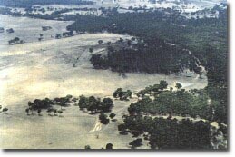
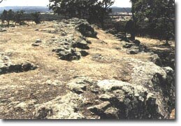
Mount Consultation is a high lava mound with a short lava flow to the northwest. There is an outcrop at the summit of jointed, dipping basalt. Lava is also exposed in a small disused quarry high on the western slope. Although now isolated, this seems to be the eruption point of the extensive lava of the Guildford Plateau to the south and the lava which covers part of the Guildford Muckleford deep leads. | ||
373 m; 30 m. | ||
Regional: | A distinctive volcano and the most northerly in the Central Highlands. Significant for the origin of a major lava flow. | |
References: | Edwards, A. B. (1938). The Tertiary volcanic rocks of central Victoria. Quarterly Journal of the Geological Society of London 94, pp. 243-320. | |
 Mount Consultation |


