Detailed Soil Mapping
|
Detailed soil survey of some 24 000 hectares in this area was carried out by the former Department of Agriculture between 1967-70. The major contributors were John Martin, Nabil Badawy, R. Cawood, J. Galea, G. Pope and J. Turner - under the supervision of Jim Newell. An additional 31 000 hectares were surveyed by John Martin in 1970-71. Published soil maps and associated information for this area were developed for the report: 'Major Agricultural Soils of the Wimmera Irrigation Area' by Martin et al. (1996). | 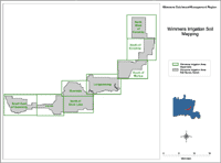 Wimmera Irrigation Soil Mapping |
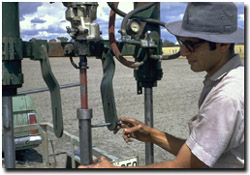 Nabil Badawy with field sampling equipment, near Horsham c. 1970. | 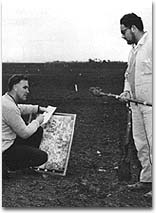 John Martin and John Galea (Department of Agriculture) conducting a soil survey near Horsham, 1968 |
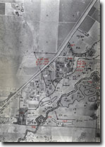 Air photo used for detailed soil mapping (north east of Horsham) | 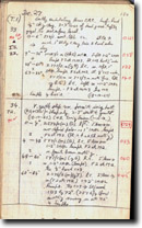 Example page from field notebook. |


