
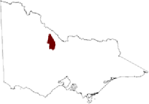
Salinity Province 65, Loddon Plains
|
|
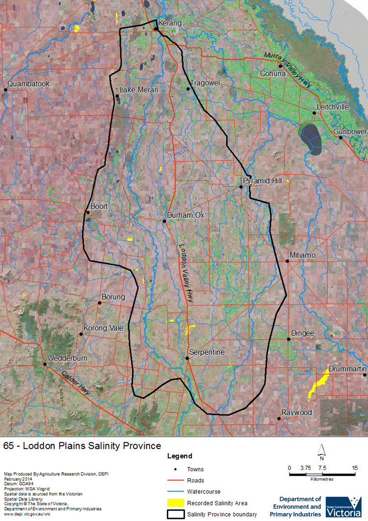
 The Loddon Plains Salinity Province is the largest province in the North Central CMR covering over 250,000 ha. The north and central parts of the province are predominantly irrigation areas while dryland farming dominates the south. The province is underlain by a deeper, regional scale Groundwater Flow System (GFS) in the alluvial plains, including an extensive ‘deep lead’ (paleo-river channel) aquifer system. Local to intermediate scale GFSs in Quaternary alluvial, lake and lunette sediments overlies this. The deeper aquifer system exerts upward pressure on the overlying aquifer systems and discharge has occurred at deeply incised drainage lines eg. at Bears Lagoon and Serpentine. The deep lead can provide good quality water (~1500 ppm) for irrigation in places, while the overlying aquifer often has a shallow watertable and the groundwater is typically much more saline (6000+ ppm).
 Province Attributes
| Catchment Management Region: | NORTH CENTRAL |
| Priority Status: | High |
| Province Area: | 252,660 ha |
| Recorded Soil Salinity Area 1: | 533 ha |
| Dominant Surface Geology Type: | Sedimentary |
| Influence of Geological Structure on Salinity Occurrence/s: | Definite |
| Relevant Geomorphological Mapping Units (GMUs): | 4.2.X, 4.1.2 |
| Predominant Groundwater Flow Systems (GFSs): | Regional & Local/Intermediate |
| Relevant Irrigation Areas: | Pyramid-Boort, Torrumbarry |
Loddon Plains Salinity Province Map
Links to further reading and material related to the North Central Salinity Province
For further information relating to groundwater levels and salinities in this Province please see: Visualising Victoria's Groundwater (VVG)
1 Please Note: The ‘Recorded Soil Salinity Area’ indicated in the Salinity Province Attribute Table, comprises the total geographic area that has been mapped as having, or showing symptoms of, dryland soil salinity at some time (past or present). As dryland salinity occurrence in the Victorian landscape exhibits many different levels of severity and can change due to climate, landuse and vegetation, previously mapped areas may no longer be showing symptoms. In addition, as not all parts of the State have been mapped, or mapped in the same way, the mapping may not have captured some occurrences.
The soil salinity mapping used to calculate this ‘area’ does not cover irrigation regions. In irrigation regions, depth to watertable and watertable salinity mapping has been used to convey the threat of high watertables on soil waterlogging and/or soil salinisation and these areas are not included in this ‘area‘ calculation.
Please contact the Department, your Catchment Management Authority or your rural water provider for more information about salinity in your location.
© State of Victoria (Agriculture Victoria) 1996 - 2025.

This work, Victorian Resources Online, is licensed under a Creative Commons Attribution 4.0 licence. You are free to re-use the work under that licence, on the condition that you credit the State of Victoria (Agriculture Victoria) as author, indicate if changes were made and comply with the other licence terms.
The licence does not apply to ‘branding’ or some ‘images or photographs’ that may be owned by third parties. We ask you to seek prior approval to use images using the VRO feedback form. Access to higher quality images can also be provided on request.
This page was last updated on 23/03/2020.