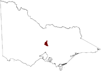
Salinity Province 14, Broadford
|
|
Province Attributes
| Catchment Management Region: | GOULBURN BROKEN |
| Priority Status: | High |
| Province Area: | 79,000ha |
| Recorded Soil Salinity Area 1: | 373 ha |
| Dominant Surface Geology Type: | Sedimentary |
| Influence of Geological Structure on Salinity Occurrence/s: | Possible |
| Relevant Geomorphological Mapping Units (GMUs): | 2.1.X, 1.4.X |
| Predominant Groundwater Flow Systems (GFSs): | Local/Intermediate |
| Relevant Irrigation Areas: | N/A |
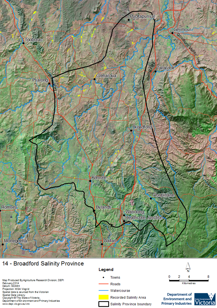
Broadford Salinity Province Map

Links to further reading and material related to the Goulburn Broken Salinity Province
For further information relating to groundwater levels and salinities in this Province please see: Visualising Victoria's Groundwater (VVG)
1 Please Note: The ‘Recorded Soil Salinity Area’ indicated in the Salinity Province Attribute Table, comprises the total geographic area that has been mapped as having, or showing symptoms of, dryland soil salinity at some time (past or present). As dryland salinity occurrence in the Victorian landscape exhibits many different levels of severity and can change due to climate, landuse and vegetation, previously mapped areas may no longer be showing symptoms. In addition, as not all parts of the State have been mapped, or mapped in the same way, the mapping may not have captured some occurrences.
The soil salinity mapping used to calculate this ‘area’ does not cover irrigation regions. In irrigation regions, depth to watertable and watertable salinity mapping has been used to convey the threat of high watertables on soil waterlogging and/or soil salinisation and these areas are not included in this ‘area‘ calculation.
Please contact the Department, your Catchment Management Authority or your rural water provider for more information about salinity in your location.

 Dryland salinity occurrence in the medium sized Broadford Salinity Province is largely driven by groundwater seepage at ‘break-of-slope’ and near drainage lines. Coming from local to intermediate scale Groundwater Flow Systems, mapped discharge areas are mostly small, ranging from under 1 ha up to 46 ha. The impacts are mainly waterlogging damage to soil, with moderate salt concentration at the surface limiting productivity of pastures and crops. Salt loads to surface water were also of concern from this province and serious soil erosion has occurred at some sites.
