Your gateway to a wide range of natural resources information and associated maps

Victorian Resources Online

Soils and landforms of East Gippsland
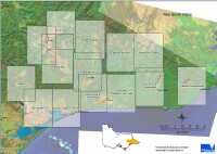
East Gippsland Soil Sites

East Gippsland soil manual soil pit map - Survey map thumbnail
East Gippsland Survey Map
.
    This series of four soil manuals for East Gippsland covers the area from Tom’s Creek (west of Bairnsdale) eastward to the Victorian border and extends north to Omeo. This region has been described and mapped as ‘soil-landform' map units that have similar geology, topography and soil types.

    Each soil-landform unit contains a general description of the geology and landform as well as detailed descriptions of typical soils. The soil descriptions include a range of physical and chemical parameters including general observations about the management implications arising from these characteristics.

Page top