
15. Sandy soils with pans/Strike ridges and valleys: Sandstone hills, valleys
|
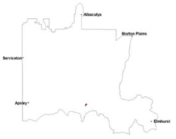
These soils have developed on mainly associated colluvial material of Palaeozoic sandstone in the Western Uplands, primarily the Black Range as well as the Grampians Ranges. This is a strongly acidic soil tending to slightly acidic/neutral at depth.
|  |
Soil Sites
Site code | Soil-landform unit | Component | ASC | FK | 1:100 000 mapsheet |
| ALRA66 | Grampians plains | Hillslope | Humisesquic, Parapanic, Aeric Podosol | Uc2.31 | T7423 - Ararat |
© State of Victoria (Agriculture Victoria) 1996 - .

This work, Victorian Resources Online, is licensed under a Creative Commons Attribution 4.0 licence. You are free to re-use the work under that licence, on the condition that you credit the State of Victoria (Agriculture Victoria) as author, indicate if changes were made and comply with the other licence terms.
The licence does not apply to ‘branding’ or some ‘images or photographs’ that may be owned by third parties. We ask you to seek prior approval to use images using the VRO feedback form. Access to higher quality images can also be provided on request.
This page was last updated on .