
Feathertop Land System
Feathertop | 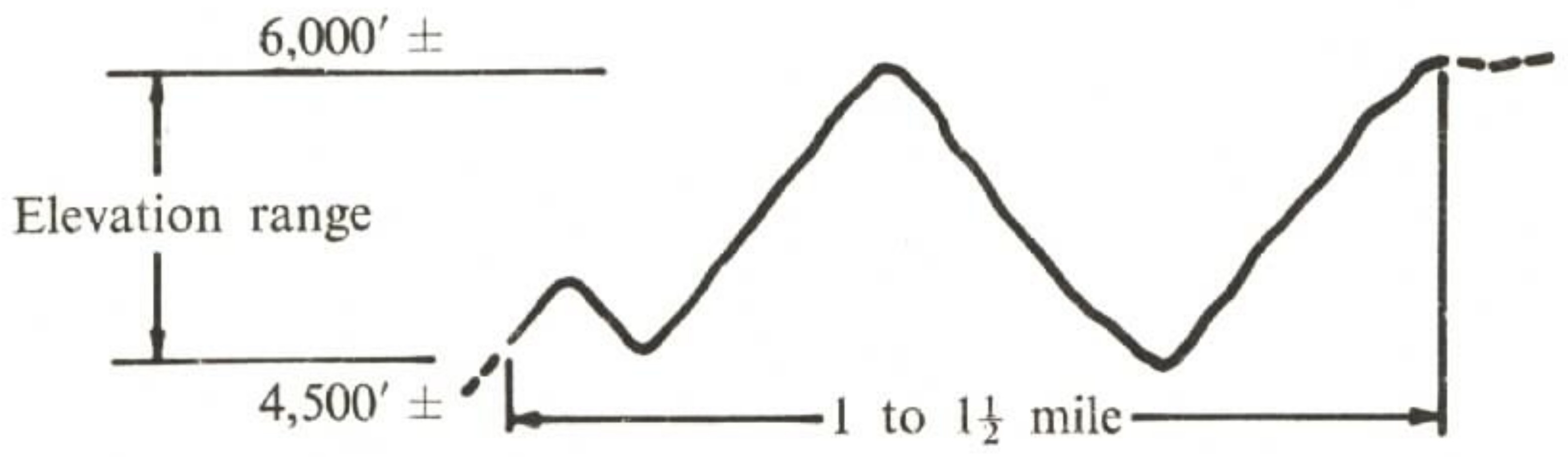 |
|
Symbol: F
Area sq Km: 7.77
Average Annual Precipitation (mm): >1 270 including snow
Landscape (topography & parent material): Steep to very steep slopes and precipitous escarpments below the High Plains. Elevations range from 1 200 - 1 800 m.
Soils
- Dominant: Shallow organic loams.
Other: Deep organic loams. Undifferentiated stony loams.
Native Vegetation (form & dominant species): Sub-alpine woodland to tall woodland of snow gum, or mountain gum and snow gum at the lower elevations; some alpine herbfield.
Land Use: State Forest and State Electricity Commission Crown Grant area that yields high amounts of water; no useful timber; of limited use for summer cattle grazing due to steepness. Strict control of grazing and other activities is necessary.
Erosion (present and hazard): Moderate to high sheet erosion hazard if the ground cover deteriorates. Mass movement erosion is likely on the steepest slopes.
(PDF 194KB)
To view the information PDF requires the use of a PDF reader. This can be installed for free from the Adobe website.
© State of Victoria (Agriculture Victoria) 1996 - .

This work, Victorian Resources Online, is licensed under a Creative Commons Attribution 4.0 licence. You are free to re-use the work under that licence, on the condition that you credit the State of Victoria (Agriculture Victoria) as author, indicate if changes were made and comply with the other licence terms.
The licence does not apply to ‘branding’ or some ‘images or photographs’ that may be owned by third parties. We ask you to seek prior approval to use images using the VRO feedback form. Access to higher quality images can also be provided on request.
This page was last updated on .