
Macfarlane (Symbol: Mf)
| Geology Mount Leinster Igneous Complex: Triassic granites, volcanic plugs and dykes. Landform In the context of this report, the Macfarlane map unit encompasses steep to precipitous hills with an elevation range of about 800 to 1200 m and an elevation range of 90 to 300 m. The slope gradients commonly exceed 50% but often exceed 100%. Soils The underlying rocks of this map unit weather very slowly and have high natural erosion rates due to the incomplete vegetation cover and steep slopes. This has resulted in very shallow soils that are weakly aggregated or apedal and exposed rock generally exceeds 50% of the area. No separate components are described in this report and no soil pits were examined. Native vegetation Montane dry woodland. Land use The area supports only native vegetation and none of these soils are used for grazing. | 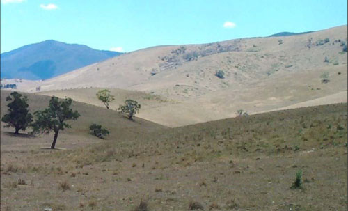 |
© State of Victoria (Agriculture Victoria) 1996 - .

This work, Victorian Resources Online, is licensed under a Creative Commons Attribution 4.0 licence. You are free to re-use the work under that licence, on the condition that you credit the State of Victoria (Agriculture Victoria) as author, indicate if changes were made and comply with the other licence terms.
The licence does not apply to ‘branding’ or some ‘images or photographs’ that may be owned by third parties. We ask you to seek prior approval to use images using the VRO feedback form. Access to higher quality images can also be provided on request.
This page was last updated on .