6. Agnes River and Falls
This information has been developed from the publication:
|
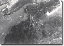
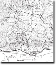
Location: | 450226 to 457213. Valley of Agnes River from Agnes Falls for a distance of 1.5 kilometres downstream. |  Agnes Falls. |
Access: | Agnes Falls Road off South Gippsland or Midland Highways. | |
Ownership: | Mainly private land. Some Crown Land near the falls. | |
Geology/Geomorphology: | Massive arkose beds form a series of falls and cascades in the Agnes River and outcrop for some distance downstream as river cliffs. The falls occur at the knick point where the Agnes crosses the edge of the uplifted Gelliondale Monocline block. Below the falls, the river is deeply incised and bordered by a narrow, intermittent bedrock terrace. | |
Significance: | State. The falls and gorge are one of the major relief features of the South Gippsland Hills. They display one of the best exposures of Mesozoic rocks in the southern part of the study area and provide a clear example of the processes that have produced the deeply dissected terrain. | |
Management: | Management should aim at preserving the unity of the gorge and deep valley. Dam construction in the valley below the Agnes Falls should be prohibited. Quarrying should not be permitted along this sector. | |
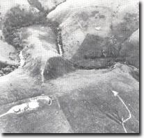
 Agnes River gorge below Agnes Falls. |


