
Kiewa Land System
Tangambalanga | 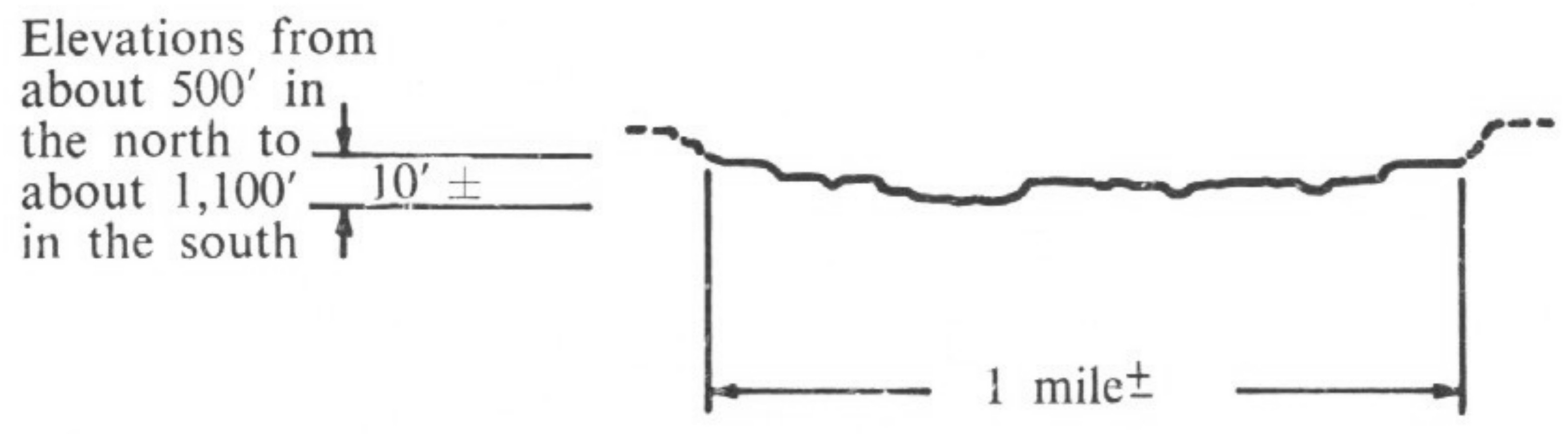 | |
Mullagong |
Sub-system: Tangambalanga
Symbol: Kt
Area sq Km: 67.34
Average Annual Precipitation (mm): 711.2 - 889
Landscape (topography & parent material): Flood plain and associated low terraces of predominantly medium and fine textured sediments. Elevation ranges from 150 - 210 m.
Soils:
- Dominant: Yellowish-brown gradational soils on alluvium. Brown loams on alluvium.
Other: Reddish gradational soils on alluvium. Undifferentiated sands and loams.
Native Vegetation (form & dominant species): Savannah woodland of river red gum.
Land Use: Dairying, beef cattle raising, some fat lamb raising on improved pastures. Some irrigation of pastures and fodder crops. There is scope for further pasture development and intensive row-cropping.
Erosion (present and hazard): Flooding is the major hazard. Some stream-bank erosion occurs.
Sub-system: Mullagong
Symbol: Km
Area sq Km: 46.62
Average Annual Precipitation (mm): 762 - 1 143
Landscape (topography & parent material): Low terraces and associated flood plains of predominantly medium-textured sediments. Elevation ranges from 210 - 330 m.
Soils:
- Dominant: Reddish duplex soils with acid subsoils. Yellowish duplex soils with acid to neutral subsoils.
Other: Reddish gradational soils on alluvium. Undifferentiated sands and loams.
Native Vegetation (form & dominant species): Savannah woodland of river red gum in the north; tall woodland to sclerophyll forest of candlebark gum on well drained sites with swamp gum in the south.
Land Use: Dairying, beef cattle raising, some fast lamb raising on mainly sown pastures. Some irrigated pasture and fodder crops. Tobacco is grown, mainly in the south. There is scope for further pasture development and some intensive row-cropping.
Erosion (present and hazard): Flooding is not such a serious problem. Some stream-bank erosion occurs.
(PDF 517KB)
To view the information PDF requires the use of a PDF reader. This can be installed for free from the Adobe website.
© State of Victoria (Agriculture Victoria) 1996 - .

This work, Victorian Resources Online, is licensed under a Creative Commons Attribution 4.0 licence. You are free to re-use the work under that licence, on the condition that you credit the State of Victoria (Agriculture Victoria) as author, indicate if changes were made and comply with the other licence terms.
The licence does not apply to ‘branding’ or some ‘images or photographs’ that may be owned by third parties. We ask you to seek prior approval to use images using the VRO feedback form. Access to higher quality images can also be provided on request.
This page was last updated on .