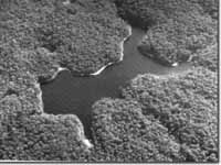
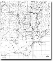
8722-1 Lake Elusive
|
This information has been developed from the publications:
|
Location: | 160190. 4 kilometres west of Wingan Inlet. |  Lake Elusive |
Abstract: | Deep, dune blocked, freshwater lake. | |
Access: | Elusive Lake Track from West Wingan Road. | |
Ownership: | Crown Land (Croajingolong National Park). | |
Geology: | Poorly exposed Ordovician sandstone and shales outcrop on the northern shore of the lake. Deeply weathered Maramingo Granite is exposed along the eastern shoreline and there is less weathered outcrop at the mouths of small streams entering the lake in the north. Tertiary sands and gravel and Pleistocene and Holocene dune sands from most of the lake shoreline. | |
Geomorphology: | The lake is up to 21 metres deep and occupies a valley incised through the Tertiary sediments into impermeable Palaeozoic sand dunes migrating eastwards from the shoreline west of Mueller Rocks. The lack of alluvial sediment on the lake floor is due to the small discharge of the inflowing system. | |
Significance: | State. This is the deepest, dune blocked, coastal lake in Victoria. | |
Management: | Strict control on clearing of the catchment and on camping and boating are necessary to avoid serious pollution of the lake and a rapid increases in the rate of sedimentation. | |


