8523-2 Brumby Point Track
|
This information has been developed from the publications:
|
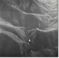
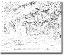
Location: | 932973. 4 kilometres north of Mt Nunniong. |  Reedy Creek Chasm (A) |
Abstract: | Overturned folds in Ordovician sediments. | |
Access: | Brumby Point Track. | |
Ownership: | Crown land. | |
Geology: | Multiple deformation structures in Ordovician sediments are exposed on Brumby Point Track. This outcrop of phyllite shows mesoscopic upsidedown facing folds with an axial plane cleavage (S1), while a second phase of folding is evidenced by tightly folded and boudinaged quartz veins which were deformed by slip along the S1 foliation. | |
Significance: | Local. Best site showing the structures of Ordovician rock in the area. | |
Management: | Land use should be consistent with the maintenance of the outcrop at the site. | |
References: | Vandeberg, A.H.M., Bolger, P., O'Shea, P.J. (in press) 'Geology and Mineral Exploration of the Limestone Creek-Reedy Creek Area, North-East Victoria', Geol. Surv. Vict. | |
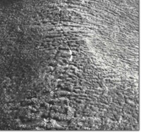
 Reedy Creek Chasm. Vegetation stripes across ridge crests. |


