19.7 Sugarloaf Hill and Terrace
|
This information has been developed from the publications:
|
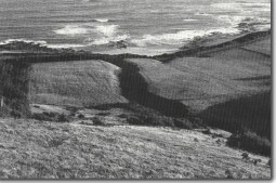
| Location: | 19-435128. Adjacent to the Sugarloaf Creek on both sides of the Great Ocean Road. |  Dissection of lower slopes and terrace near Sugarloaf Hill. |
Access: | Great Ocean Road. | |
Ownership: | Crown land south of the Great Ocean Road and private land north of the road. | |
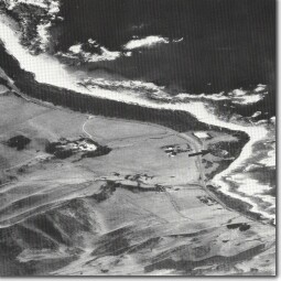
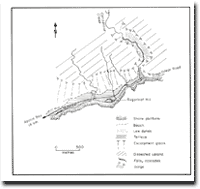
Geology/Geomorphology: | Sugarloaf Hill is a conspicuous sand covered (conical) knoll that stands approximately 15 metres above the coastal terrace. The composition and origin of the hill are uncertain. It appears to be a bedrock projection that has acted as a nucleus for sand accumulation to give the appearance of a cone shaped dune. The hill forms part of a small promontory that projects as a narrow level terrace seven to ten metres above sea level. Inland of the Great Ocean Road, the surface of the terrace is sloping and merges with the down-wash slopes (glacis) of the main escarpment. These slopes are dissected by gullies of small creeks east and west of Sugarloaf Creek which give vertical sections into the alluvial material of the fans and terrace. | |
Significance: | State. This is one of the wider terrace sections along the eastern Otway coast and is of particular interest for the relationship shown between the terrace and the inland slopes. The site illustrates the complexity of the evolution of coastal slopes in the Otway Ranges. | |
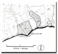
 Sugarloaf Hill (arrowed), coastal terraces and escarpment west of Cape Patton. |  Site 19.7 and 19.8 |  Geomorphology Sugarloaf Hill |


