17.2 Hopetoun Falls - Aire Valley
This information has been developed from the publications:
|
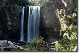
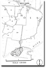
| Location: | 17-235168. Six kilometres south of Beech Forest. |  Hopetoun Falls. |
Access: | Aire Valley Road, Oregon Road. | |
Ownership: | Crown land (Reserved Forest). | |
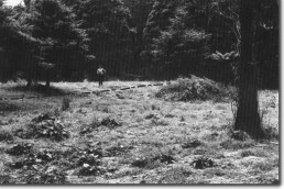
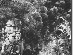
Geology/Geomorphology: | This is a single fall of 20 metres with a slight overhang. The falls have developed on massive sandstone beds and are determined by strong vertical jointing. A gorge extends below the falls for approximately 100 metres. Outcrop on the walls of the gorge display spheroidal weathering which is not related to concretions. Downstream from the falls the valley widens and forms an alluvial flat with a distinct boulder terrace bordering the river channel. | |
Significance: | Regional. The falls show clearly structural control of landform and the spheroidal weathering of the sandstone is unusual in the Otway area. The alluvial valley and gravel terrace are important in analysis of river regime and history. | |
 Boulder terrace (pecked line) of Aire River below Hopetoun Falls. |  Spheroidal weathering of arkose at Hopetoun Falls. |  Hopetoun Falls |


