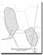
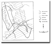
7.3 Fault Scarp and Incised Stream
|
This information has been developed from the publications:
|
| Location: | 7-050335- Eight kilometres north west of Carlisle River. | |
Access: | Tomahawk Creek Road. | |
Ownership: | Private land and partly Crown land. | |
Geology/Geomorphology: | A small tributary of Tomahawk Creek is deeply incised into the scarp of the Colac Fault which has clear topographic expression here. | |
Significance: | Regional. The site clearly displays the erosional and tectonic processes responsible for much of the terrain in the north west of the Shire. | |
 Site 7.2 and 7.3 |  Morphology of Site 7.2 and 7.3 |


