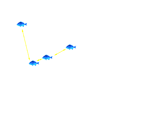
Fish 091 Tracking - Image 5
Click on the satellite image to track the movement of your favourite bream. Details of what the bream did are provided below the satellite image.
For the next 5 months, Fish 091 swam up and down the length of the Mitchell River regularly, using both Jones Bay via The Cut and also the river channel enclosed by the silt jetty. Fish 091 moved upstream to Bairnsdale several times, and spent significant periods of time around the re-introduced large woody debris.
To track another bream return to the Tracking the movement patterns of black bream in the Gippsland Lakes page.
Page top
Previous | Image 1 | Image 2 | Image 3 | Image 4 | Image 5 | Image 6 | Next
 |
For the next 5 months, Fish 091 swam up and down the length of the Mitchell River regularly, using both Jones Bay via The Cut and also the river channel enclosed by the silt jetty. Fish 091 moved upstream to Bairnsdale several times, and spent significant periods of time around the re-introduced large woody debris.
To track another bream return to the Tracking the movement patterns of black bream in the Gippsland Lakes page.


