
9. Sodic brown, yellow and grey texture contrast soils/Dissected Uplands: Eruption points and volcanic plains
|
This soil has developed on mainly Quaternary basic volcanics (basaltic) in the Western Uplands. Some areas have had varying amounts of sand covering the basaltic material. These soils often have acidic surface horizons becoming alkaline with depth.
|  |
Soil Sites
Site code | Soil-landform unit | Component | ASC | FK | 1:100 000 mapsheet |
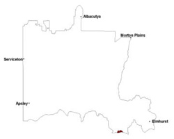
| ALRA69 | Barton lava plains | Plain | Vertic (Ferric), Mottled-Hypernatric, Brown Sodosol | Dy3.42 | T7423 - Ararat |
© State of Victoria (Agriculture Victoria) 1996 - .

This work, Victorian Resources Online, is licensed under a Creative Commons Attribution 4.0 licence. You are free to re-use the work under that licence, on the condition that you credit the State of Victoria (Agriculture Victoria) as author, indicate if changes were made and comply with the other licence terms.
The licence does not apply to ‘branding’ or some ‘images or photographs’ that may be owned by third parties. We ask you to seek prior approval to use images using the VRO feedback form. Access to higher quality images can also be provided on request.
This page was last updated on .