
LSWW21
|  Mottled, Eutrophic, Brown CHROMOSOL | |||
|
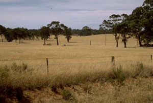
Location | South of Gymbowen, western Victoria | |||
|
Landform | Ridge | |||
|
Geology | Quaternary Lowan Formation: aeolian fine to medium grained dune sand | |||
|
Element | Hillcrest | |||
Horizon | Depth (cm) | Description | ||
A11 | 0–20 | Brown (10YR4/3); sand; single grain (structureless); pH 5.9. | ||
A12 | 20–45 | Brown (10YR4/3); sand; single grain (structureless); pH 6.8. | ||
2A | 45–75 | Reddish brown (5YR4/4); sand; single grain (structureless); weak consistence when dry; few manganese nodules; pH 6.5. | ||
2B | 75–85 | Yellowish brown (10YR5/6) with abundant very coarse prominent dark yellowish brown mottles; light clay (sandy); strong fine polyhedral structure; very firm consistence when dry; pH 6.0. | ||
2C | 85–130+ | Parilla Sand. | ||
| Management considerations | ||||
| ||||
Horizon | Depth (cm) | pH (water) | pH (CaCl2) | EC dS/m |
A11 | 0–20 | 5.9 | 4.9 | <0.05 |
A12 | 20–45 | 6.8 | 5.7 | <0.05 |
2A | 45–75 | 6.5 | 5.2 | <0.05 |
2B | 75–85 | 6 | 4.9 | <0.05 |
2C | 85–130+ | NA | NA | NA |
© State of Victoria (Agriculture Victoria) 1996 - .

This work, Victorian Resources Online, is licensed under a Creative Commons Attribution 4.0 licence. You are free to re-use the work under that licence, on the condition that you credit the State of Victoria (Agriculture Victoria) as author, indicate if changes were made and comply with the other licence terms.
The licence does not apply to ‘branding’ or some ‘images or photographs’ that may be owned by third parties. We ask you to seek prior approval to use images using the VRO feedback form. Access to higher quality images can also be provided on request.
This page was last updated on .