
Soil-Landform Units - Low Hills
Flood Plain | Alluvial | Colluvial | Low Hills | Hills | Mountains | Hill Plateaux | Mountain Plateaux | Back to Soil/Landform Survey
To view the information PDF requires the use of a PDF reader. This can be installed for free from the Adobe website (external link).
Unit Description | Unit Type | Typical Soil Profile Information (for components of each unit) | |
Low Hills | |||
| LHG1 | (PDF 111KB) | Low Hills on Granite - Type 1 (Benambra North / Limestone Road)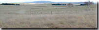 | Components 1, 2 (PDF 112KB) (PDF 61KB) |
| LHG2 | (PDF 112KB) | Low Hills on Granite - Type 2 (Shelley / Koetong / Yackandandah)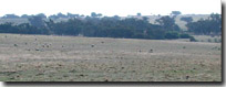 | Components 1, 2, 3 (PDF 143KB) (PDF 114KB) (PDF 197KB) |
| LHSy1 | (PDF 97KB) | Low Hills on Ordovician Sediments - Type 1 (Myrrhee / Carboor)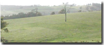 | Components 1, 2, 3 (PDF 125KB) (PDF 85KB) (PDF 98KB) |
| LHSy2 | (PDF 106KB) | Low Hills on Permian Sediments - Type 2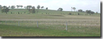 | Components 1, 2, 3 (PDF 41KB) (PDF 102KB) (PDF 40KB) |
| LHSy3 | (PDF 117KB) | Low Hills Carboniferous sediments - Type 3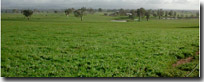 | Components 1, 2, 3 (PDF 113KB) (PDF 149KB) (PDF 45KB) |
| LHSy4 | (PDF 119KB) | Low hills on Ordovician sediments - Type 4 (Northern Foot-slopes)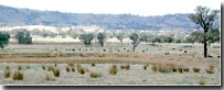 | Components 1, 2, 3 (PDF 145KB) (PDF 125KB) (PDF 96KB) |
© State of Victoria (Agriculture Victoria) 1996 - .

This work, Victorian Resources Online, is licensed under a Creative Commons Attribution 4.0 licence. You are free to re-use the work under that licence, on the condition that you credit the State of Victoria (Agriculture Victoria) as author, indicate if changes were made and comply with the other licence terms.
The licence does not apply to ‘branding’ or some ‘images or photographs’ that may be owned by third parties. We ask you to seek prior approval to use images using the VRO feedback form. Access to higher quality images can also be provided on request.
This page was last updated on .