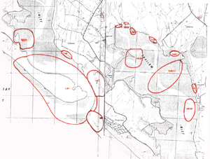
7. Palaeozoic and Tertiary East of Adams Road
This information has been developed from the publication:
|
| Location | 267050. Two hundred metres west of Northeys Creek. |
Access: | Private road from Adams Road. Difficult to access by boat except at very high water. |
Significant Features: | The site was not inspected during this survey. Ferguson (1928 Geological Parish Plan) mapped an area of Palaeozoic rock outcropping at the coast and noted on the map ….. “Siliceous conglomerate rests on Silurian mudstones which contain quartz veins. A small amount of prospecting has been done on the beach.” |
A number of shafts and shallow (gold) prospects are also shown on Ferguson's map. | |
Significance Level: | Local. This is the only recorded site of gold mineralisation in the Shallow Inlet Catchment. The site may have historical significance. |
Management Issues: | There is no specific management requirement at this stage. |
Research & Monitoring Requirements: | The site needs verification in the field. |
Public Interpretation Possibilities: | No applicable. The site is inaccessible except by traverse through private property. |
Main Reference: | Ferguson, W. H. (1927). Yanakie South Geological mapsheet 40 chains to 1 inch. Geol Surv. Vict. |


