
Gormandale (Go)
|
Geology Landform | 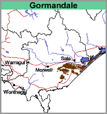 | 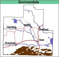 |
Original Vegetation
Ferny and heathy woodland with yertchuk, stringybark, peppermint, box and manna gum (Aldrick et al.,1992). Almost pure stands of banksia with grass tree understorey, often occur on the deep sands.
Previous Maps and Reports
This map unit is included within the Gormandale Land System as described by Aldrick et al. (1992). It also includes a number of deep sand soil types described by Poutsma and Turvey (1979).
Soils
The soils are mainly deep sands, generally with a layer of organic and/or iron cemented sand in the form of coffee rock or concretions in the subsoil. These soils are classified as Podosols using the Australian Soil Classification. Soil Site CFTT 17 is an example of a Podosol in the Gormandale mapping unit . In some cases, the sand will overlie a clayey subsoil at around 1 metre depth - in which case these soils would be referred to as Sodosols with a deep sandy surface. Soil Site GP48 is an example of a Grey Sodosol with deep sandy surface horizons.
Chemical and Physical Analysis
No analyses have been carried out on any of these soils within the study area. However, similar soils in other areas of Gippsland are generally strongly acidic throughout and have a very low nutrient holding capacity and water holding capacity. Soil Pit Site CFTT 17 is an example of a representative soil type, but occurs outside this mapped area.
Land Use
Most occurrences on this map sheet are uncleared or used for pine plantations.
| Gormandale, gravelly (Go,gv) This map unit delineates sands that have variable amounts of coarse gravel and small quartz stones throughout the soil profile | 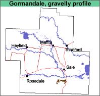 |
| Gormandale and Stockdale (Go:Sd) This symbol denotes areas where there is between 30% and 70% of either map unit. The Stockdale soils have a deep sand to sandy loam topsoil overlying clay at about 35 cm to 70 cm. | 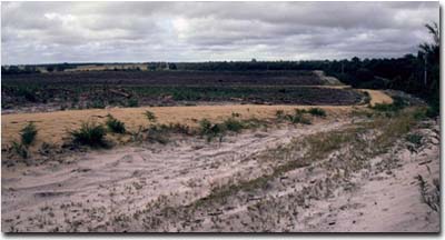 Land recently cleared of pine vegetation near Longford. |
| Gormandale with Stockdale (Go/Sd) This map unit comprises mainly Gormandale with less than 30% of the Stockdale map unit. | 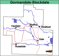 |
Geology
Pliocene and Pleistocene aeolian sediments with Pliocene alluvial sediments.
Landform
Dunefields with interdune plains.
Original Vegetation
See Gormandale and Stockdale map units.
Previous Maps and Reports
Poutsma and Turvey (1979) mapped small areas of these types south of the La Trobe River.
Soils
See Gormandale and Stockdale map units.
Land Use
The land is mostly used for forestry, both hardwood and pine.
© State of Victoria (Agriculture Victoria) 1996 - .

This work, Victorian Resources Online, is licensed under a Creative Commons Attribution 4.0 licence. You are free to re-use the work under that licence, on the condition that you credit the State of Victoria (Agriculture Victoria) as author, indicate if changes were made and comply with the other licence terms.
The licence does not apply to ‘branding’ or some ‘images or photographs’ that may be owned by third parties. We ask you to seek prior approval to use images using the VRO feedback form. Access to higher quality images can also be provided on request.
This page was last updated on .