
Strathdownie Land Unit
This land unit comprises the Quaternary lacustrine geology mainly south of the Glenelg River. The lacustrine deposits include lagoonal, swamp and local colluvial deposits forming low-lying wetlands between stranded beach ridges. Sand, silt, sandy clay, peat, marl and freshwater limestone are found in these relatively unconsolidated formations. The major soil type is a strong texture contrast soil (Chromosol) commonly with a bleached A2 horizon and a mottled subsoil (indicative of impeded internal drainage). Some minor dunes, consisting of Podosols or Rudosols, and swales in between the dunes (Kurosols) have not been separated from this land unit due to restrictions of scale.
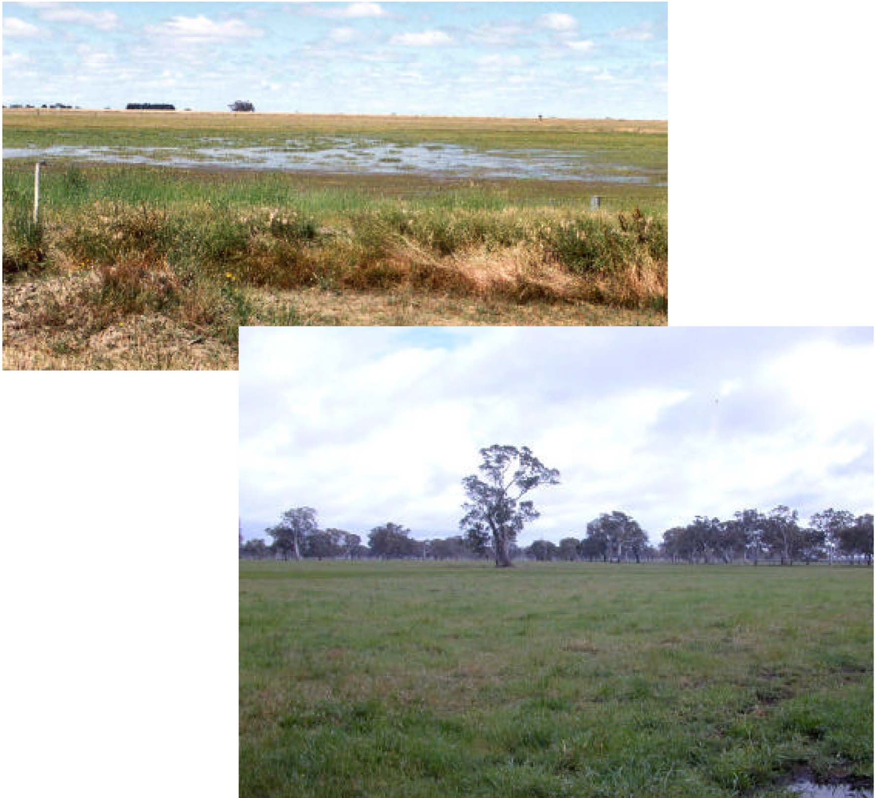
Plates 51 & 52 Plains, depressions and swamps west of Strathdownie.
© State of Victoria (Agriculture Victoria) 1996 - .

This work, Victorian Resources Online, is licensed under a Creative Commons Attribution 4.0 licence. You are free to re-use the work under that licence, on the condition that you credit the State of Victoria (Agriculture Victoria) as author, indicate if changes were made and comply with the other licence terms.
The licence does not apply to ‘branding’ or some ‘images or photographs’ that may be owned by third parties. We ask you to seek prior approval to use images using the VRO feedback form. Access to higher quality images can also be provided on request.
This page was last updated on .