
Sand Plains and Rises Land Unit
This land unit comprises areas with reasonably deep sand deposits, mainly north of the Kanawinka Fault. When not cleared the vegetation commonly marks the distinct changes in landscape from deep sand to one of shallow sand. The major tree species on the deep sand is Brown Stringybark, with an understorey of heath vegetation, such as Blackboys and Tea trees. Yellow Gums prefer the shallower sandy topsoils. The major landform in this land unit is gently undulating plains where there are gentle rises and low dunes. The common soil type on the gentle rises and low dunes has a sandy topsoil over mottled clay. The depth of sand is variable (often deeper than 50 cm) and can be as deep as two metres in some areas. The subsoils can be strongly acidic (Kurosols), although Chromosols and Sodosols also occur. Ferruginous nodules above the clay horizon are common. There are minor areas where dunes are the dominant landform. Podosols, Tenosols and soils with a deep sandy topsoil over a clay subsoil occur on the steeper dunes, and Chromosols or Kurosols occur on the gentler dunes. Sodosols and Vertosols can be found in the swales and drainage depressions.
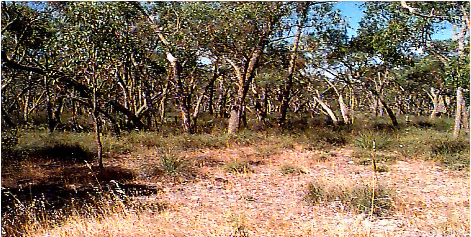
Plate 50 Brown stringybark, with an understorey of heath vegetation, such as blackboys and tea trees located
west of Casterton on the sandy rises and swales.
© State of Victoria (Agriculture Victoria) 1996 - .

This work, Victorian Resources Online, is licensed under a Creative Commons Attribution 4.0 licence. You are free to re-use the work under that licence, on the condition that you credit the State of Victoria (Agriculture Victoria) as author, indicate if changes were made and comply with the other licence terms.
The licence does not apply to ‘branding’ or some ‘images or photographs’ that may be owned by third parties. We ask you to seek prior approval to use images using the VRO feedback form. Access to higher quality images can also be provided on request.
This page was last updated on .