
Red Gum Plains an Rises Land Unit
This land unit comprises the Quaternary lacustrine geology mainly north of the Glenelg River and around Balmoral. The landform is generally level to gently undulating plains, however gentle rises with sandy topsoil also occur. The soils in this land unit are similar to many of the soils in the study area with a strong textural contrast between the light textured topsoil, and the sodic clay subsoil (Sodosol) and a ferric horizon above the clay. The presence of a bleached horizon (A2) and the mottles in the subsoil indicates impeded internal soil drainage. The presence of manganese flecks and nodules in some of the profiles may indicate the presence of a seasonally perched watertable. The subsoil is often sodic, strongly dispersive with large columnar or prismatic structure. Although there can be secondary cracks in the large prisms or columns, it remains difficult for plant roots to penetrate deep into the subsoil. The dominant tree species located on this land unit is Red Gum. Podosols or sandy Tenosols are also found in this land unit although they are thought to have formed on more recently accumulated wind blown material (i.e. not lacustrine). They have not been mapped individually due to scale constraints.
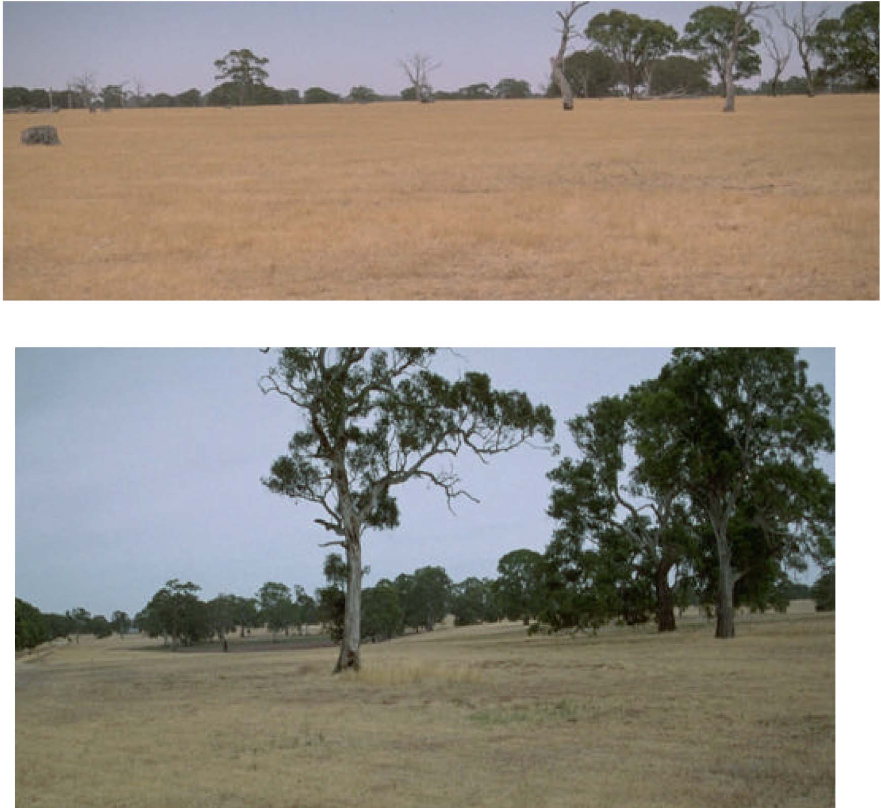
Plates 46 & 47 Undulating plains with swales north of Harrow (Plate 46) and gently undulating plains
with dissections of small clay plains of the red gum plains and rises near Balmoral (Plate 47).
© State of Victoria (Agriculture Victoria) 1996 - .

This work, Victorian Resources Online, is licensed under a Creative Commons Attribution 4.0 licence. You are free to re-use the work under that licence, on the condition that you credit the State of Victoria (Agriculture Victoria) as author, indicate if changes were made and comply with the other licence terms.
The licence does not apply to ‘branding’ or some ‘images or photographs’ that may be owned by third parties. We ask you to seek prior approval to use images using the VRO feedback form. Access to higher quality images can also be provided on request.
This page was last updated on .