
Nelson Dunes and Plains, Nelson Plains and Dunes Land Unit
This land unit occurs in the south-western corner of the region and is generally composed of siliceous sand dunes and plains over calcareous sediments. The partly consolidated calcareous deposits were formed in an arcuate band (north-west/southeast trending) formed by the retreat of the Murray Sea. The siliceous dune and sand sheet material is often of aeolian origin. There are also some isolated occurrences of this unit, mainly mixed amongst the Follet Dunes and Plains Land Unit that could not be mapped due to restrictions of scale.
The sand varies from orange to red to a paler colour. The orange and red sands are usually associated with the calcareous sediments, whereas the paler sands tend to have less carbonate or the calcareous material is found at depths greater than two metres. Another soil variant occurs on the swales in between the dunes. These soils tend to have heavier textured subsoil horizons with and without calcareous material underneath.
Some soils, typically on the lower dunes and slopes of some dunes, are characterised by a high level of free iron in the subsoil. These soils tend to have heavier textured subsoils compared to the Tenosols and Rudosols, and may or may not have limestone underneath. In some instances these have been mapped as the Follet Dunes and Rises LU, possibly due to the deep sandy topsoil, although because limestone commonly occurs at depth, they would accord better with the Nelson Dunes and Plains LU.
This land unit tends to have a higher capability of supporting a range of land uses (e.g. viticulture) due to the soils’ favourable physical and chemical properties.
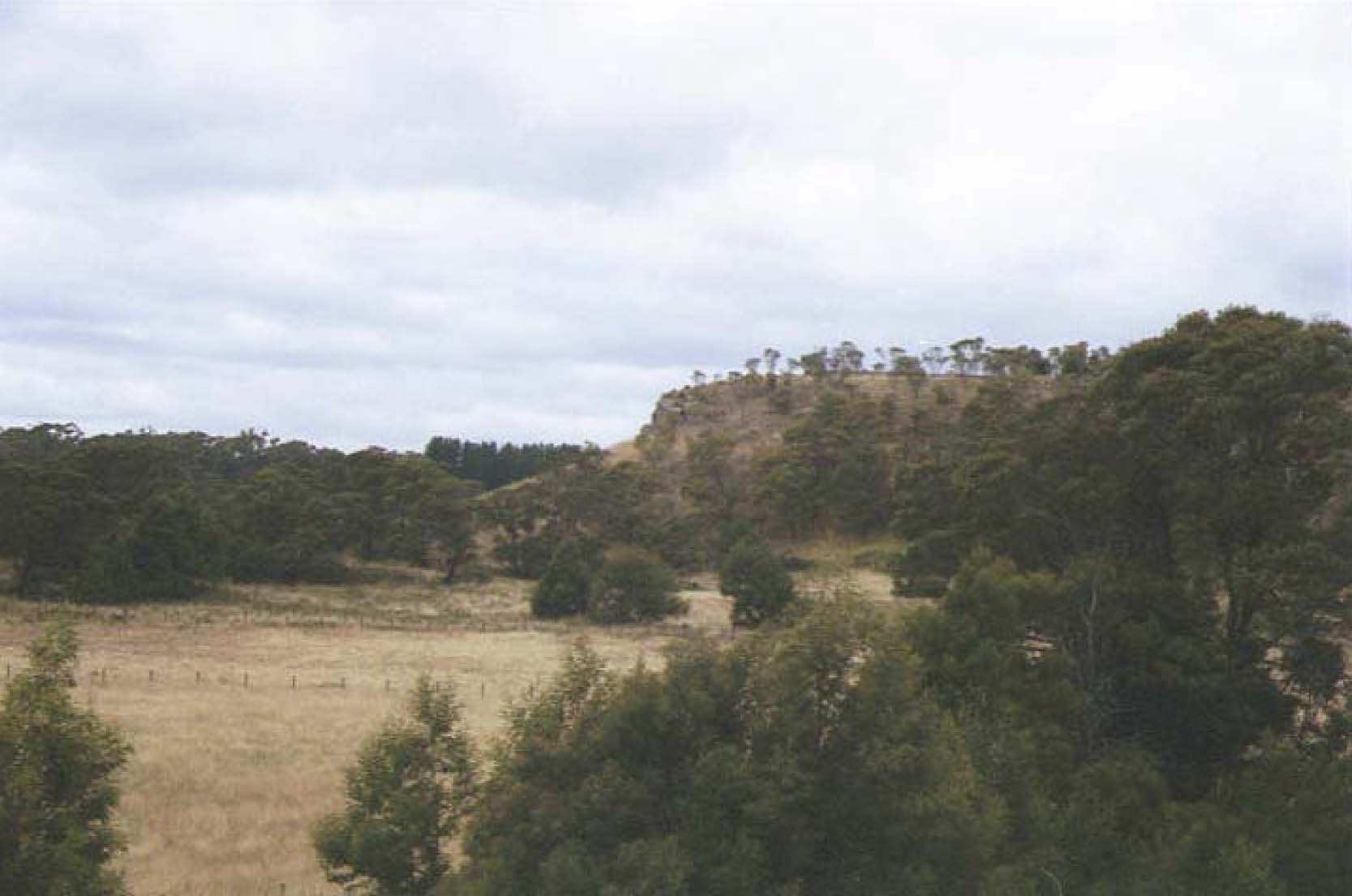
Plate 45 Tertiary limestone cliff with overlapping and surrounding dune sediments near Dartmoor.
© State of Victoria (Agriculture Victoria) 1996 - .

This work, Victorian Resources Online, is licensed under a Creative Commons Attribution 4.0 licence. You are free to re-use the work under that licence, on the condition that you credit the State of Victoria (Agriculture Victoria) as author, indicate if changes were made and comply with the other licence terms.
The licence does not apply to ‘branding’ or some ‘images or photographs’ that may be owned by third parties. We ask you to seek prior approval to use images using the VRO feedback form. Access to higher quality images can also be provided on request.
This page was last updated on .