
Mt Dundas Sandstone Land Unit
This land unit consists of the Silurian non-marine sandstones and comprises the Dundas Range with Mount Dundas being the highest peak at 466 metres. The topsoil is often sandy and extremely deep (Podosols) with organics dominant in the surface horizons. A bleached A2 horizon is evident at depth, often above a mottled and often sodic subsoil (Sodosols). Soils with a strong texture contrast (Kurosols) are also minor soil types within this land unit. The soil depth is variable, as is the depth of sand above the clay.
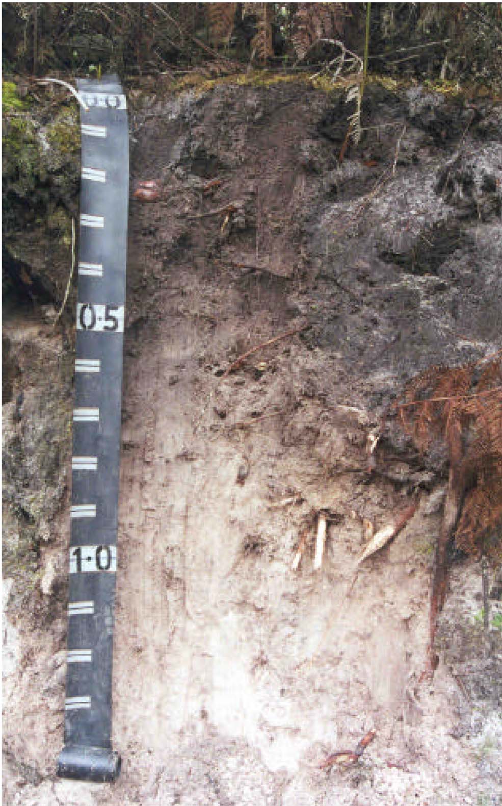
Plate 42 Sandy soil profile located near the summit of Mount Dundas.
© State of Victoria (Agriculture Victoria) 1996 - .

This work, Victorian Resources Online, is licensed under a Creative Commons Attribution 4.0 licence. You are free to re-use the work under that licence, on the condition that you credit the State of Victoria (Agriculture Victoria) as author, indicate if changes were made and comply with the other licence terms.
The licence does not apply to ‘branding’ or some ‘images or photographs’ that may be owned by third parties. We ask you to seek prior approval to use images using the VRO feedback form. Access to higher quality images can also be provided on request.
This page was last updated on .