
Merino Tablelands Land Unit
This unit consists of the Cretaceous non-marine sandstone of the dissected Merino Tablelands. The tablelands were thought to have formed under swamp conditions and a warm climate. As a result, the soils tend to be high in clay and there are carbon-rich seams of charcoal at depth in some of the profiles. The main soil type used to represent this land unit is a black cracking clay (Vertosol) that can be sodic at depth. This soil type, along with Black Sodosols, Chromosols and Dermosols, is commonly found on the broad crests or drainage lines. The slopes often consist of Brown Chromosols, Sodosols or Dermosols, although black soils can also occur on the slopes. The lower slopes commonly have Grey Vertosols or Sodosols as the major soil type. The reasonably deep sodic soils on short steep slopes tend to be prone to landslip. The grey soils, in particular are prone to water erosion.
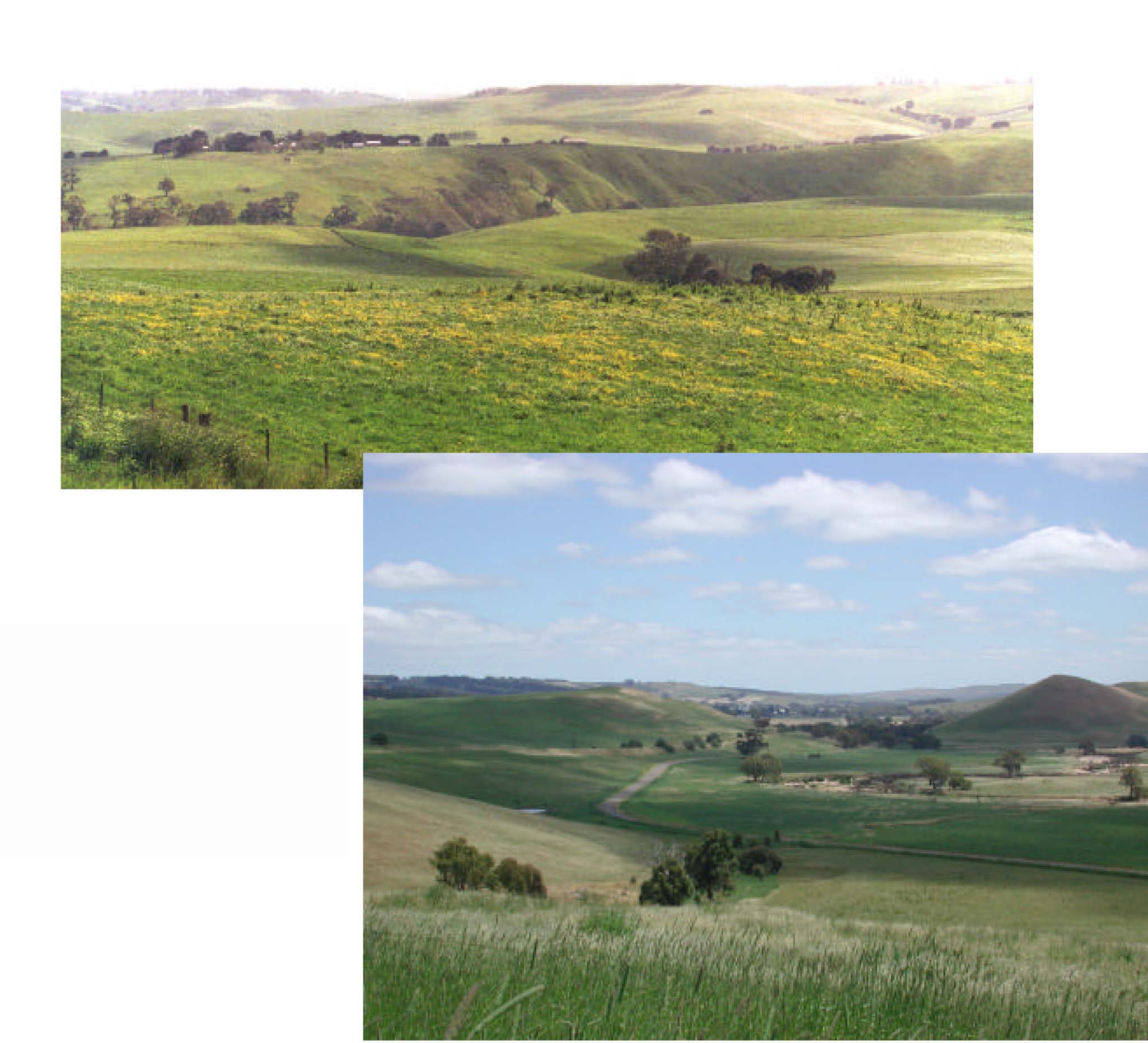
Plates 40 & 41 Overlooking the dissected nature of the Merino Tablelands. The evident plateau of both Plates
is the peneplain of the Dundas Redgum Land Unit.
© State of Victoria (Agriculture Victoria) 1996 - .

This work, Victorian Resources Online, is licensed under a Creative Commons Attribution 4.0 licence. You are free to re-use the work under that licence, on the condition that you credit the State of Victoria (Agriculture Victoria) as author, indicate if changes were made and comply with the other licence terms.
The licence does not apply to ‘branding’ or some ‘images or photographs’ that may be owned by third parties. We ask you to seek prior approval to use images using the VRO feedback form. Access to higher quality images can also be provided on request.
This page was last updated on .