
Marl, Kororoit Marl, Mepunga Marl Land Unit
The Tertiary marl, part of the Heytesbury Group sediments, occurs mainly in the southern portion of the study area. The lithology of this land unit is predominantly unconsolidated greyish marl with variable amounts of calcareous clay, silt and clayey limestone. Thin beds of limestone are occasionally present at depth. The land unit consists of a variety of landforms ranging from level and gently undulating plains to dissected undulating rises and low hills. Due to the variability of lithologies and landform, the soils are variable although they typically have calcium carbonate present (usually at depth). A common toposequence consists of Petrocalcic Dermosols on the crests and upper slopes and Vertic Brown Chromosols on the lower slopes and depressions. The subsoils may also be sodic in some instances. Some areas have redeposited material formed by aeolian or colluvial processes which have formed Podosols on both high and low topographic positions.
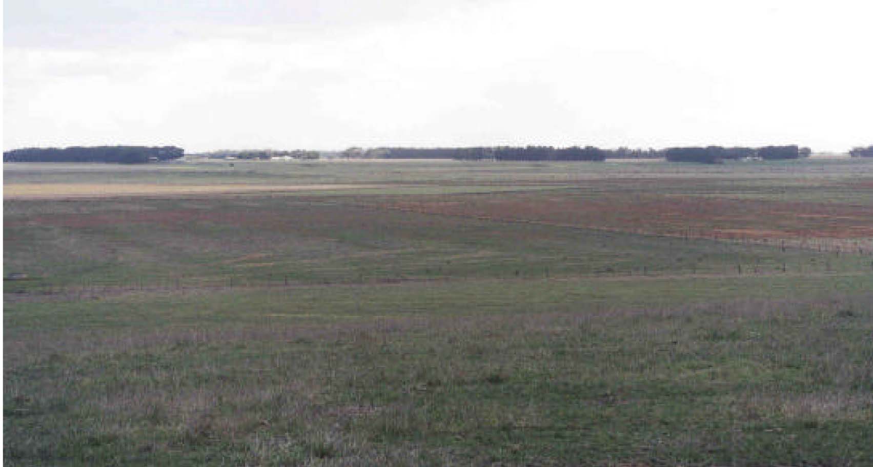
Plate 39 Looking down on flats and dissections of basalt and marl near Bushfield.
© State of Victoria (Agriculture Victoria) 1996 - .

This work, Victorian Resources Online, is licensed under a Creative Commons Attribution 4.0 licence. You are free to re-use the work under that licence, on the condition that you credit the State of Victoria (Agriculture Victoria) as author, indicate if changes were made and comply with the other licence terms.
The licence does not apply to ‘branding’ or some ‘images or photographs’ that may be owned by third parties. We ask you to seek prior approval to use images using the VRO feedback form. Access to higher quality images can also be provided on request.
This page was last updated on .