
Grampians Alluvial Land Unit
This land unit consists of the alluvial plains around the Grampians. The soils are commonly poorly drained Black Sodosols in association with Bleached-Ferric Chromosols or Sodosols. Some areas experience months of inundation. These soils are commonly Hydrosols.
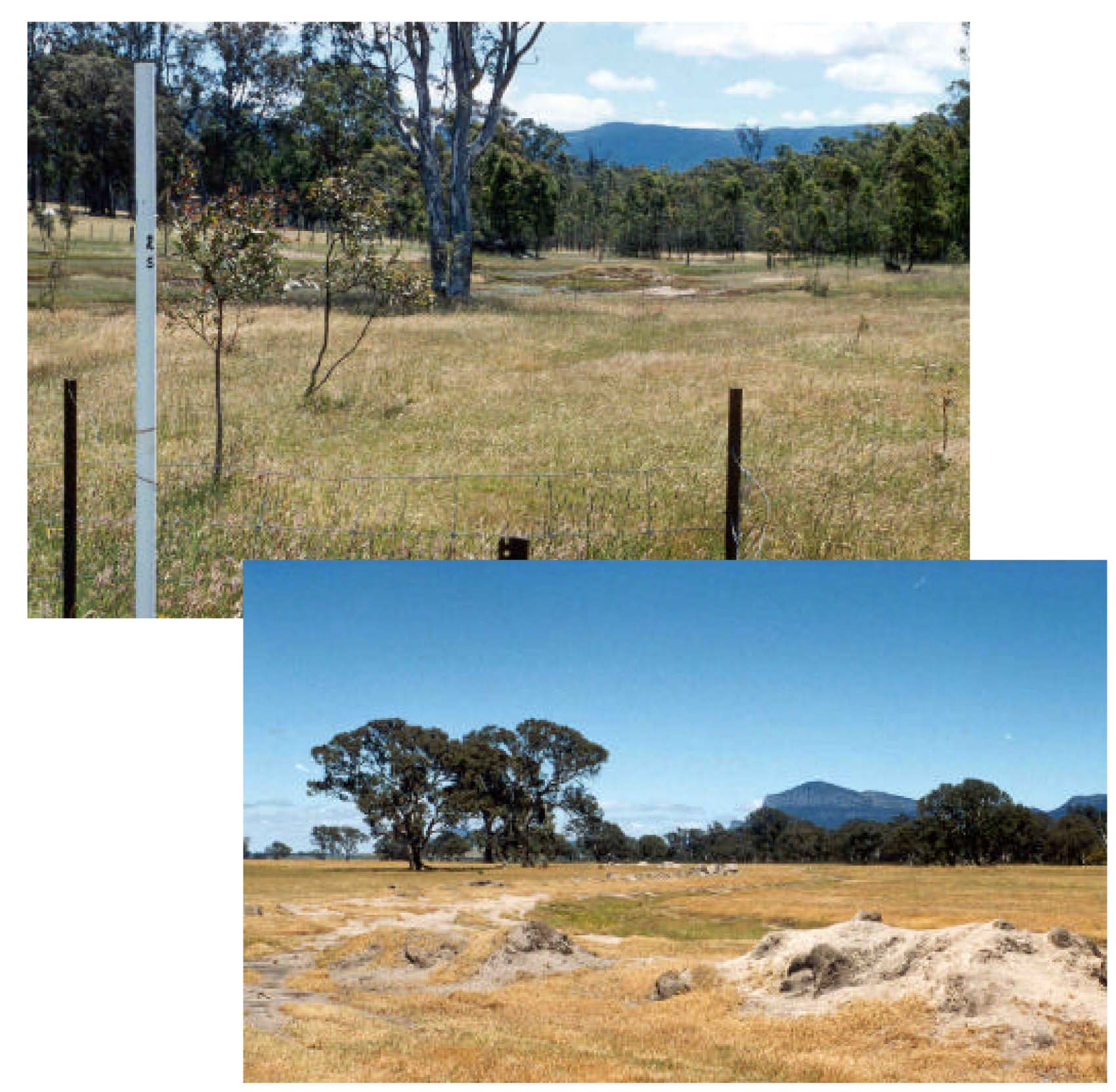
Plates 32 & 33 Alluvial sediments as derived from colluvial processes and deposits of the Grampains Mountain Range.
Plate 32 is from the Victoria Valley while Plate 33 is located east of Cavendish.
© State of Victoria (Agriculture Victoria) 1996 - .

This work, Victorian Resources Online, is licensed under a Creative Commons Attribution 4.0 licence. You are free to re-use the work under that licence, on the condition that you credit the State of Victoria (Agriculture Victoria) as author, indicate if changes were made and comply with the other licence terms.
The licence does not apply to ‘branding’ or some ‘images or photographs’ that may be owned by third parties. We ask you to seek prior approval to use images using the VRO feedback form. Access to higher quality images can also be provided on request.
This page was last updated on .