
Glenelg River Granites Land Unit
In the steeper dissected valleys of the Dundas Tablelands, weathered granites are exposed at the surface. This land unit consists of the steep to rolling granitic slopes leading to the Glenelg River and its tributaries. The parent material is a combination of Cambrian granodiorite and Cambrian granite of the Glenelg River Complex. This land unit is often found in association with the Dissected Metamorphic LU and Glenelg River Schists LU.
The soils on the steeper, longer slopes tend to be highly weathered sands (Tenosols). On the shorter, gentler slopes where there is an accumulation of water, strong texture contrast soils (mainly Sodosols) occur. There is commonly a discontinuous cemented ferruginous iron pan at depth associated with soils of this unit. There are isolated occurrences of rock outcrop on some slopes, particularly in the north-west of the study area.
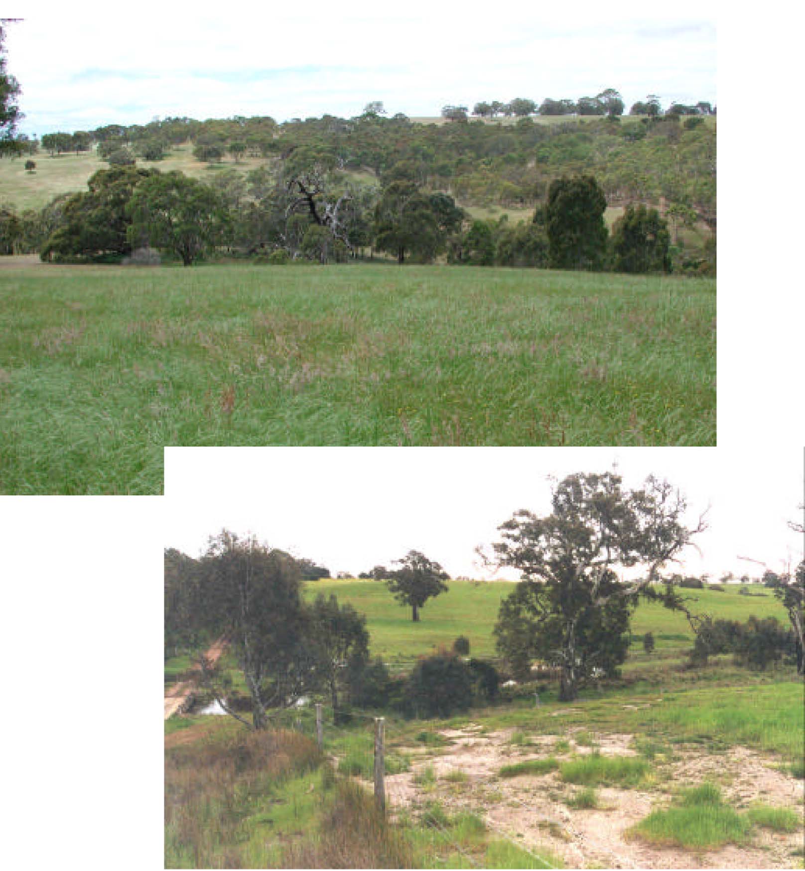
Plates 29 & 30 View of the dissected Dundas Tablelands where weathered Cambrian granites are often exposed
lower down in the landscape are the prominent drainage depressions of these V-shaped valleys (location Carrols
Rd near Wootong Vale) (Plate 29) and granite wash near Pidgeon Ponds (Plate 30).
© State of Victoria (Agriculture Victoria) 1996 - 2025.

This work, Victorian Resources Online, is licensed under a Creative Commons Attribution 4.0 licence. You are free to re-use the work under that licence, on the condition that you credit the State of Victoria (Agriculture Victoria) as author, indicate if changes were made and comply with the other licence terms.
The licence does not apply to ‘branding’ or some ‘images or photographs’ that may be owned by third parties. We ask you to seek prior approval to use images using the VRO feedback form. Access to higher quality images can also be provided on request.
This page was last updated on 23/03/2020.