
Dundas Tillite Land Unit
This land unit consists of the Permian glacial, fluvial and lacustrine sediment outcrop in the valleys of the Dundas Tablelands. The landform is mainly dissected low hills and rises. The main soil types of this unit are Black Sodosols or Black Vertosols. Grey Sodosols commonly occur on the lower slopes. Most soils become much more sodic at depth, which contributes to the imperfect drainage of the soil. This land unit is highly susceptible to water erosion due mainly to the sodic nature of the subsoil. As the tillite is a mixture of materials (not totally consolidated), the soils (particularly the grey soils) tend to be less stable when exposed. Land slips are common in this land unit.
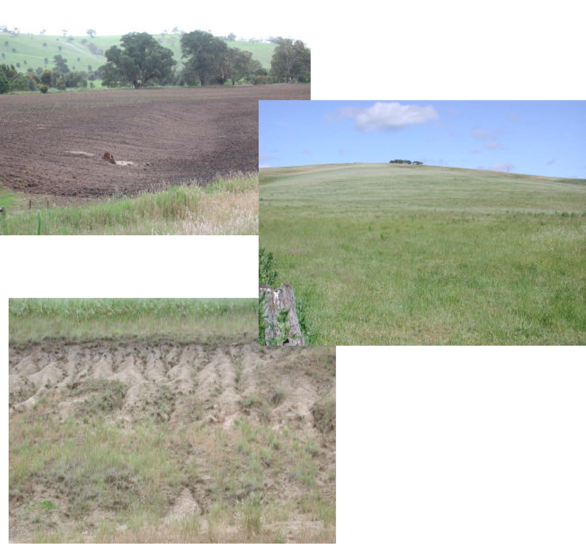
Plates 21, 22 & 23 Permian fluvial-glacial sediments as exposed and found evident in the
drainage depression and flats of the dissected Dundas Tablelands. These soils are
extremely prone to erosion as evident from the erosive nature of this cutting (Plate 23).
© State of Victoria (Agriculture Victoria) 1996 - .

This work, Victorian Resources Online, is licensed under a Creative Commons Attribution 4.0 licence. You are free to re-use the work under that licence, on the condition that you credit the State of Victoria (Agriculture Victoria) as author, indicate if changes were made and comply with the other licence terms.
The licence does not apply to ‘branding’ or some ‘images or photographs’ that may be owned by third parties. We ask you to seek prior approval to use images using the VRO feedback form. Access to higher quality images can also be provided on request.
This page was last updated on .