
Dundas Redgum Land Unit
The flat weathered surface (peneplain) of the Dundas Tableland forms the Dundas Redgum land unit. The Cainozoic peneplain of the Dundas Tablelands is chiefly composed of a residual surface derived of duricrust over various geologies. The parent material of the duricrust is variable ranging from sedimentary beds, metamorphosed sediments, granites, trachyte, rhyolite and volcanics. As a result, the depths of the residual surface are also variable depending upon the parent geology, climate and history. In the steeper dissected valleys, where the duricrust has been eroded, weathered parent material is often exposed.
The duricrust was probably formed during a time of semi-arid climate in the Tertiary period, where evaporation and rainfall were nearly equal. The surface was formed by deep chemical weathering, which formed three distinct horizons within the weathering zone. The upper horizon has a massive structure, dominated by oxides/hydroxides of iron and possibly aluminium and manganese. In many of these soils this has resulted in development of a cemented ferruginous horizon (petroferric horizon). The underlying horizon is noted for its mottled yellow, orange, red and purple colours. The deepest horizon is generally a pallid horizon of cream/white colour that has experienced kaolinisation.
The soils are quite consistent throughout (Yellow or Brown Ferric Chromosols). These strong texture contrast soils with an abundance of ferruginous nodules, are developed over a highly weathered reticulate mottled zone. This red and white reticulate or laminar mottling sometimes referred to as ‘tiger mottles’ is thought to be the result of differential hydrolisation and reduction that occurred since the Tertiary period. The ferruginous nodules can sometimes become cemented and are a major limitation for land use in some areas.
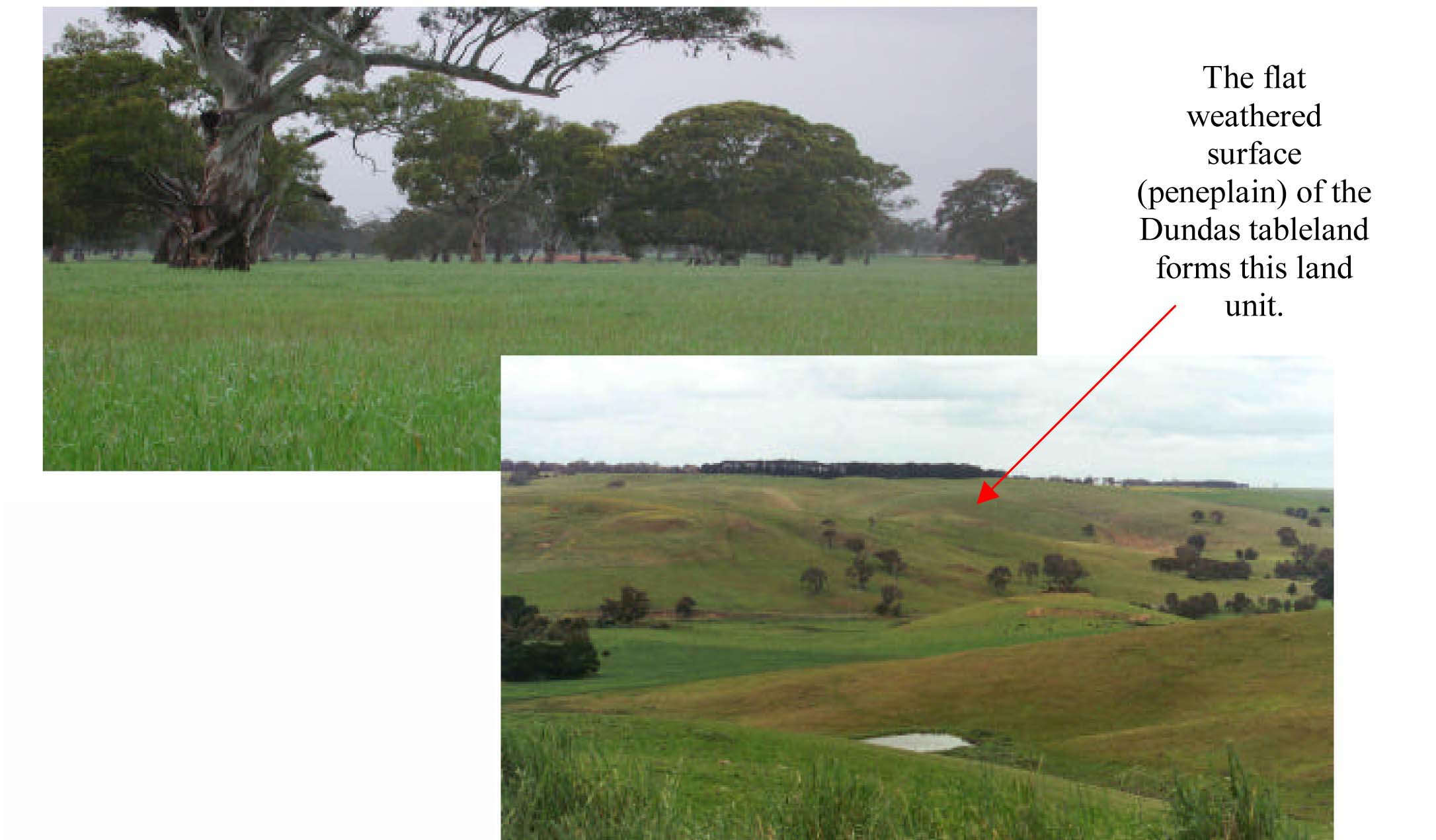
Plates 18 & 19 Residual Dundas Tableland peneplain surface as viewed from near Wannon (Plate 18) and Gritjurk.
In Plate 19 there are minor slumps and landslides that often have segments of the tableland crust rafted as enveloped
for these mass
© State of Victoria (Agriculture Victoria) 1996 - .

This work, Victorian Resources Online, is licensed under a Creative Commons Attribution 4.0 licence. You are free to re-use the work under that licence, on the condition that you credit the State of Victoria (Agriculture Victoria) as author, indicate if changes were made and comply with the other licence terms.
The licence does not apply to ‘branding’ or some ‘images or photographs’ that may be owned by third parties. We ask you to seek prior approval to use images using the VRO feedback form. Access to higher quality images can also be provided on request.
This page was last updated on .